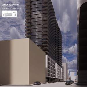
110 O'Connor St.
Summary#
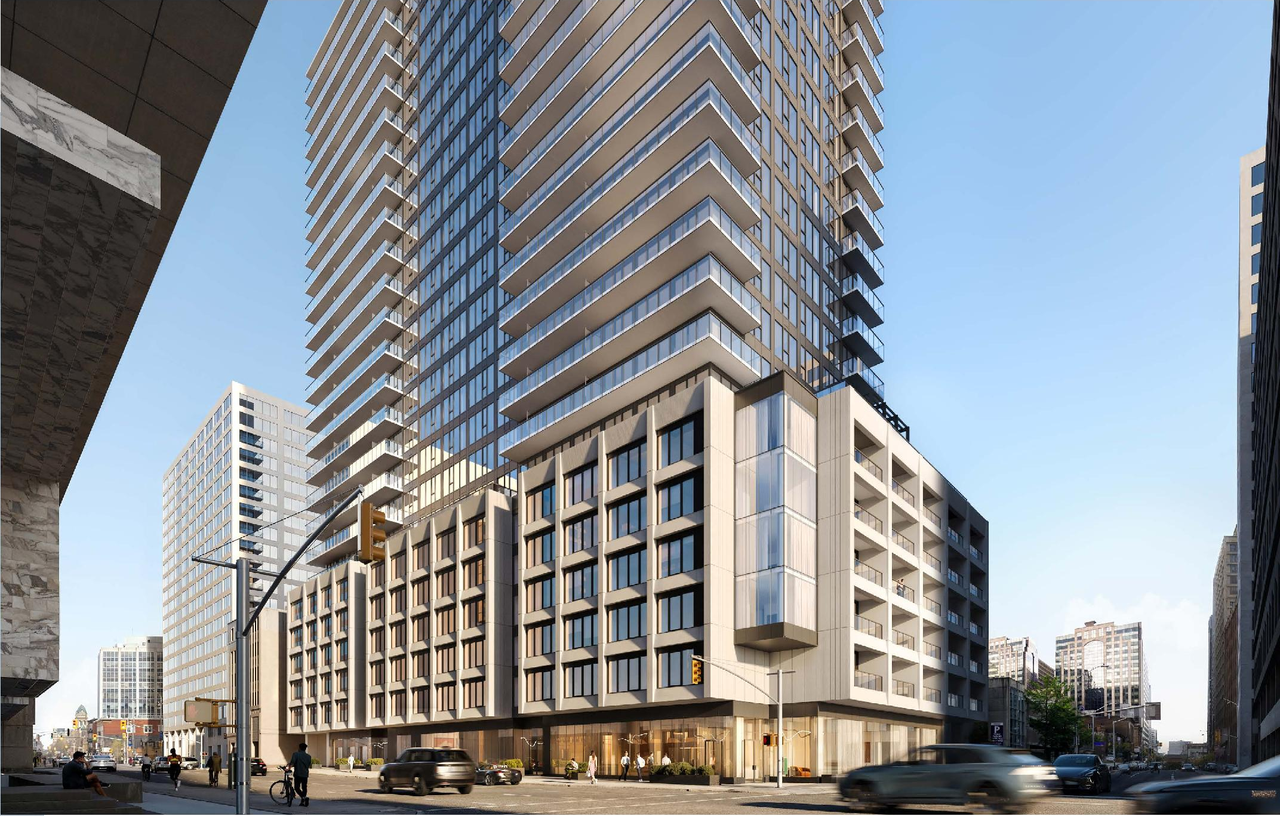
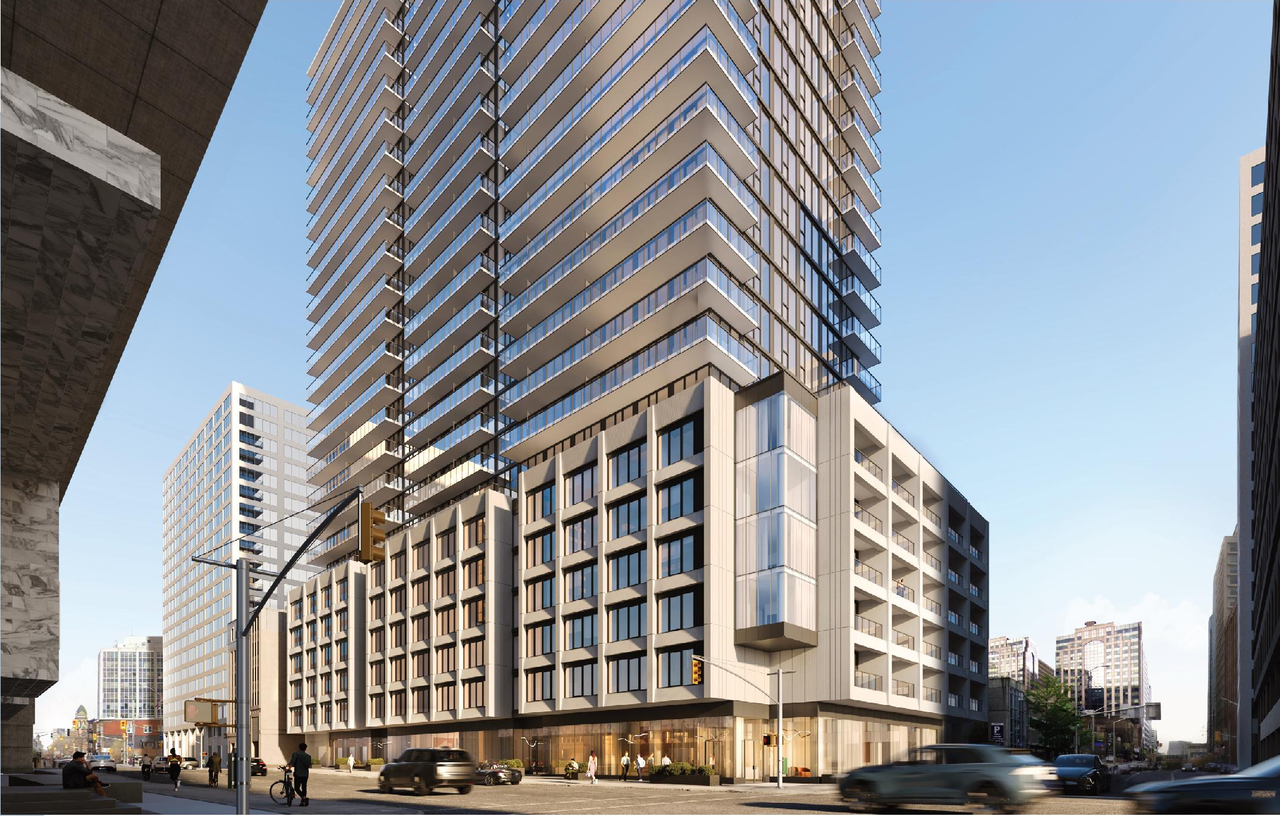
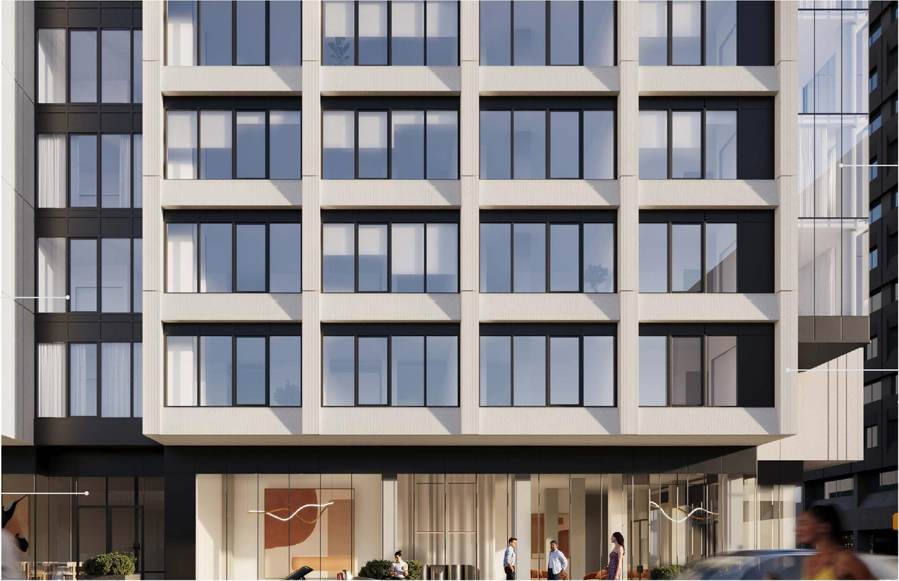
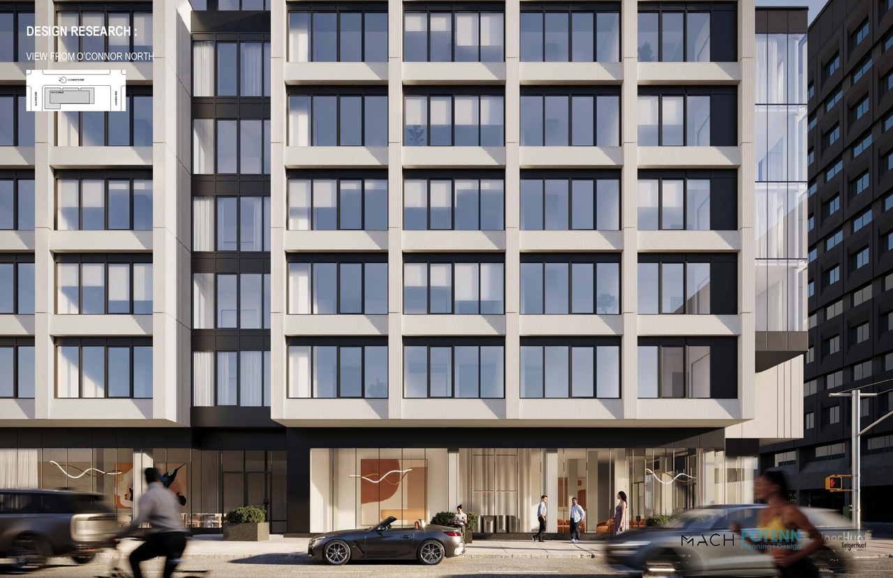
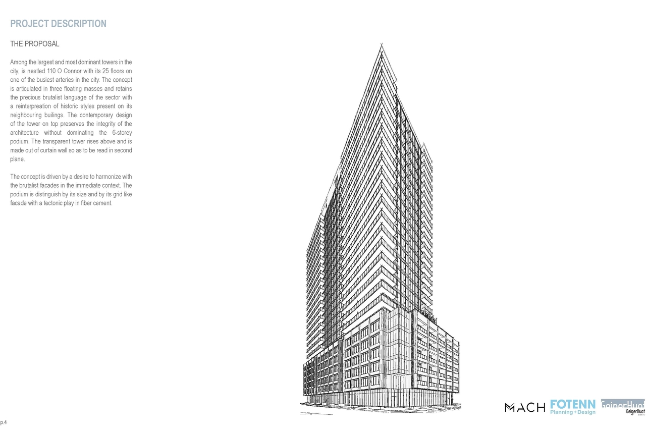
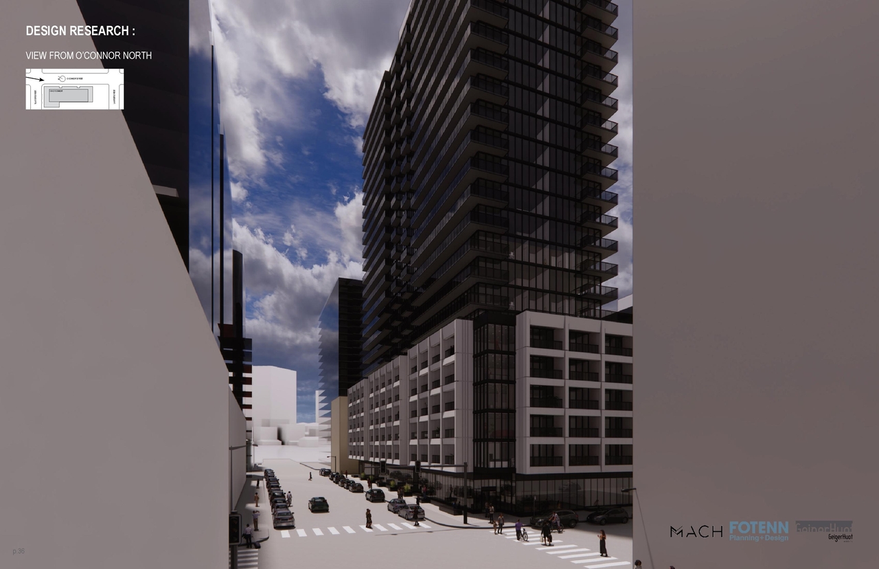
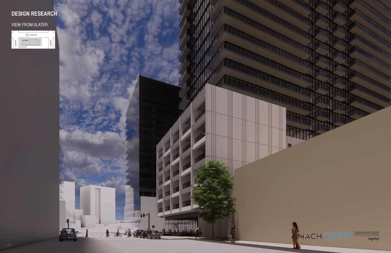
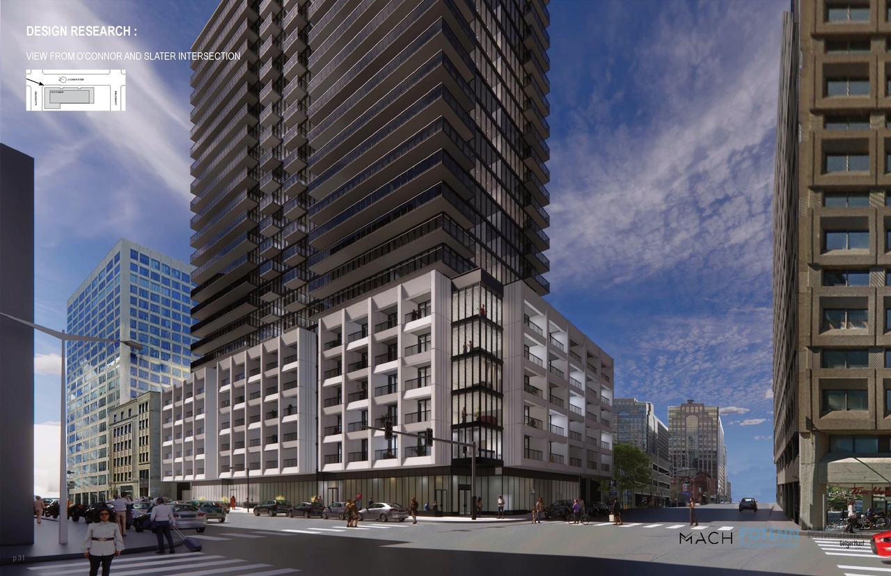
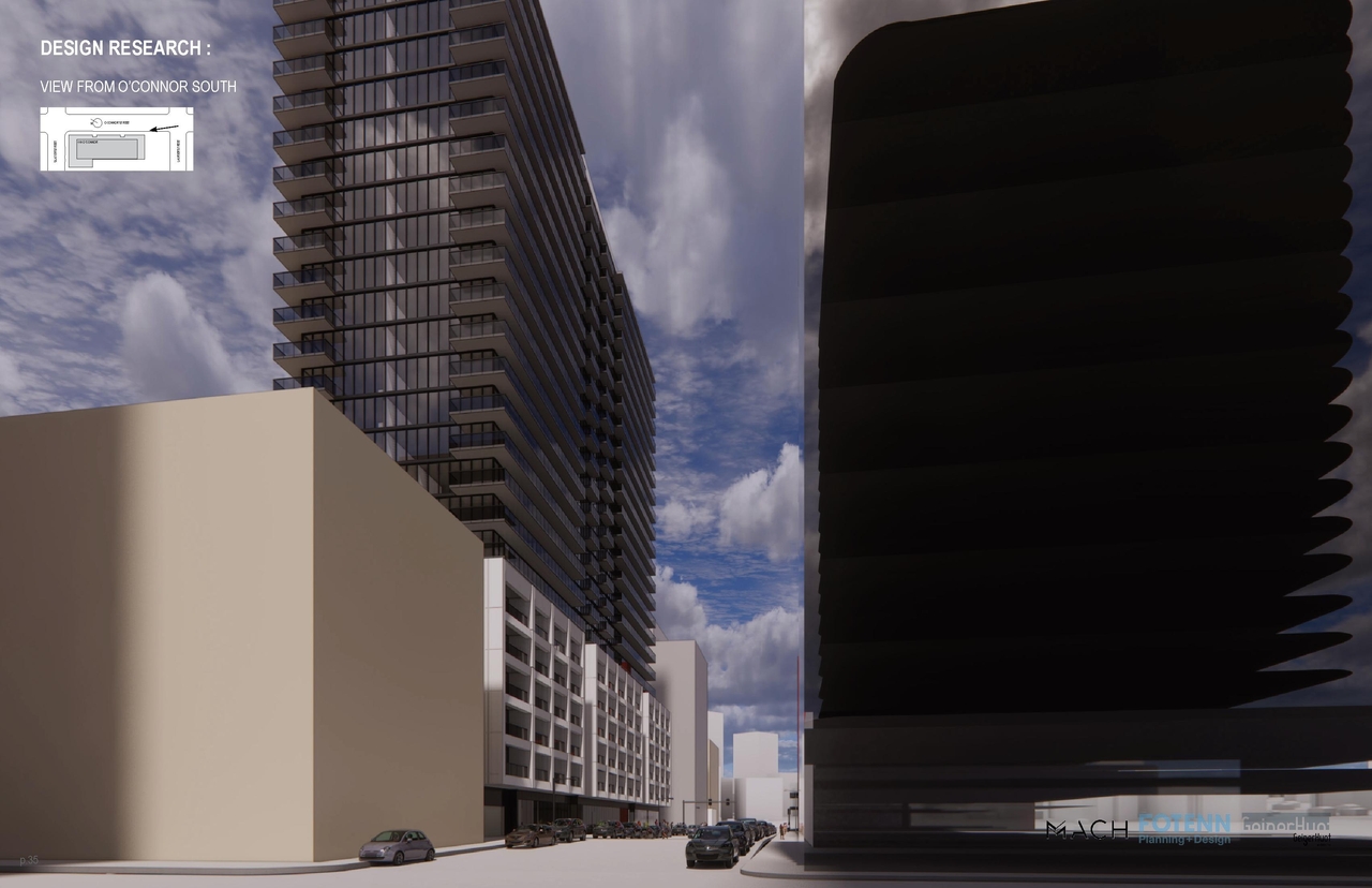
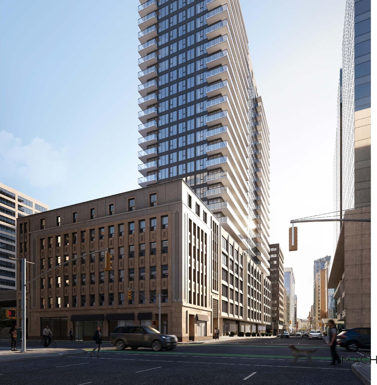
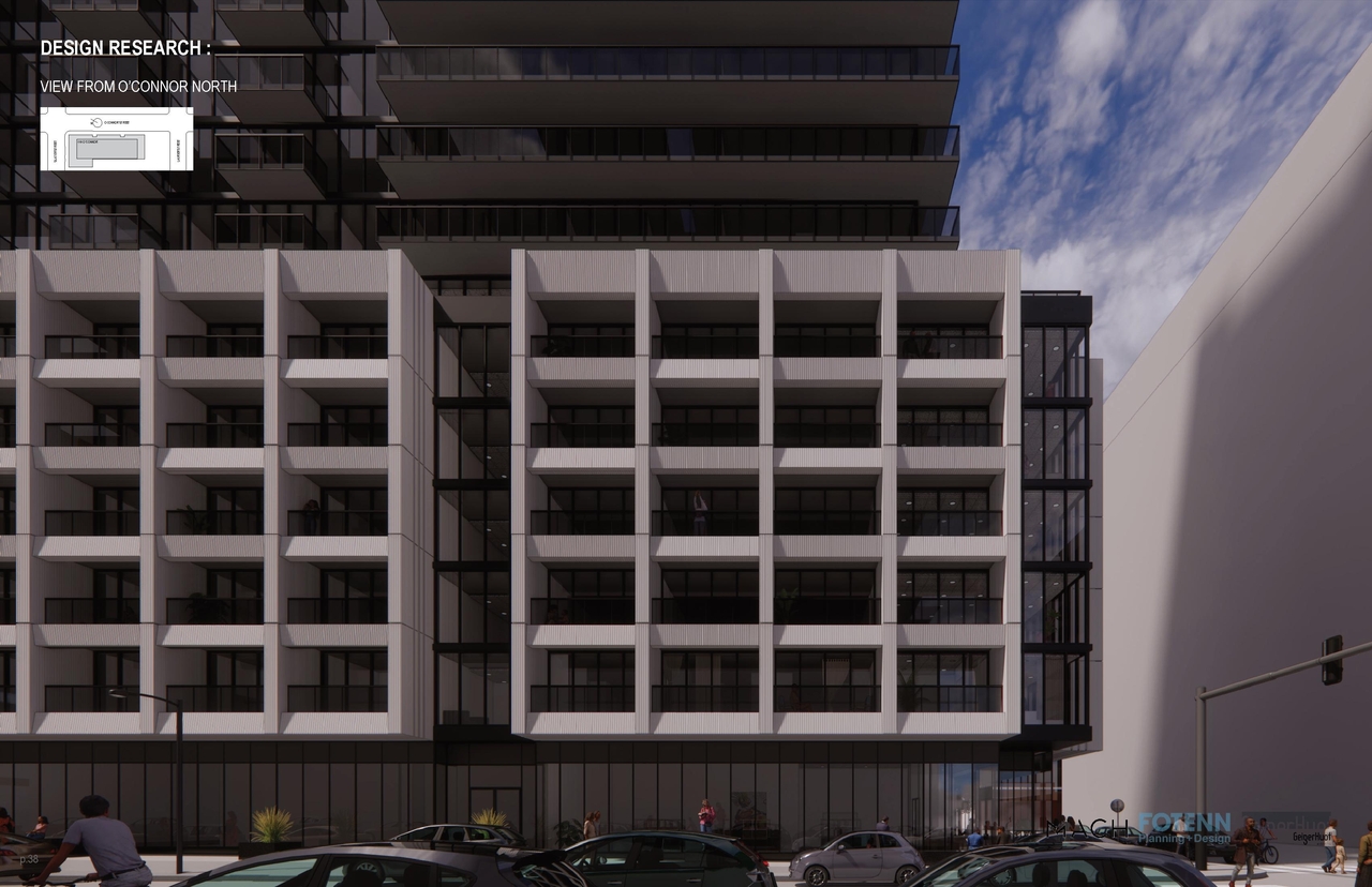
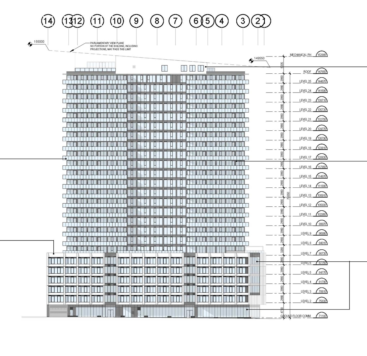
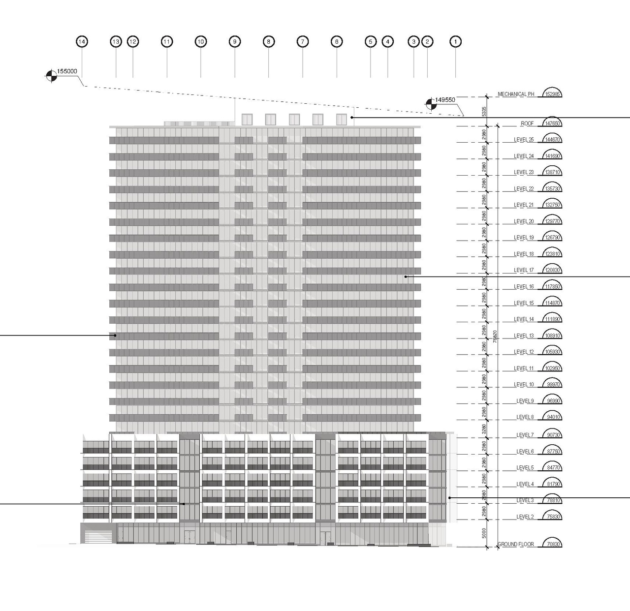
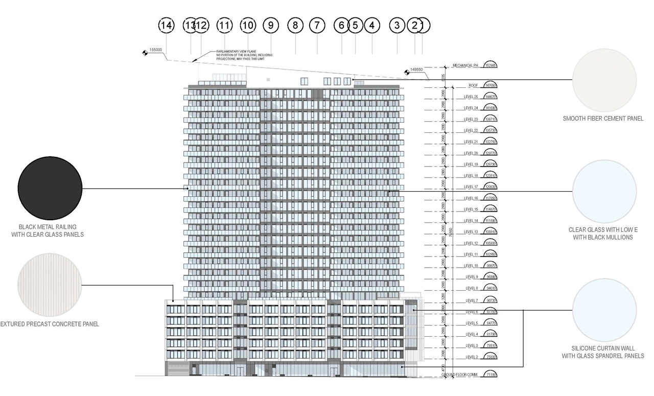
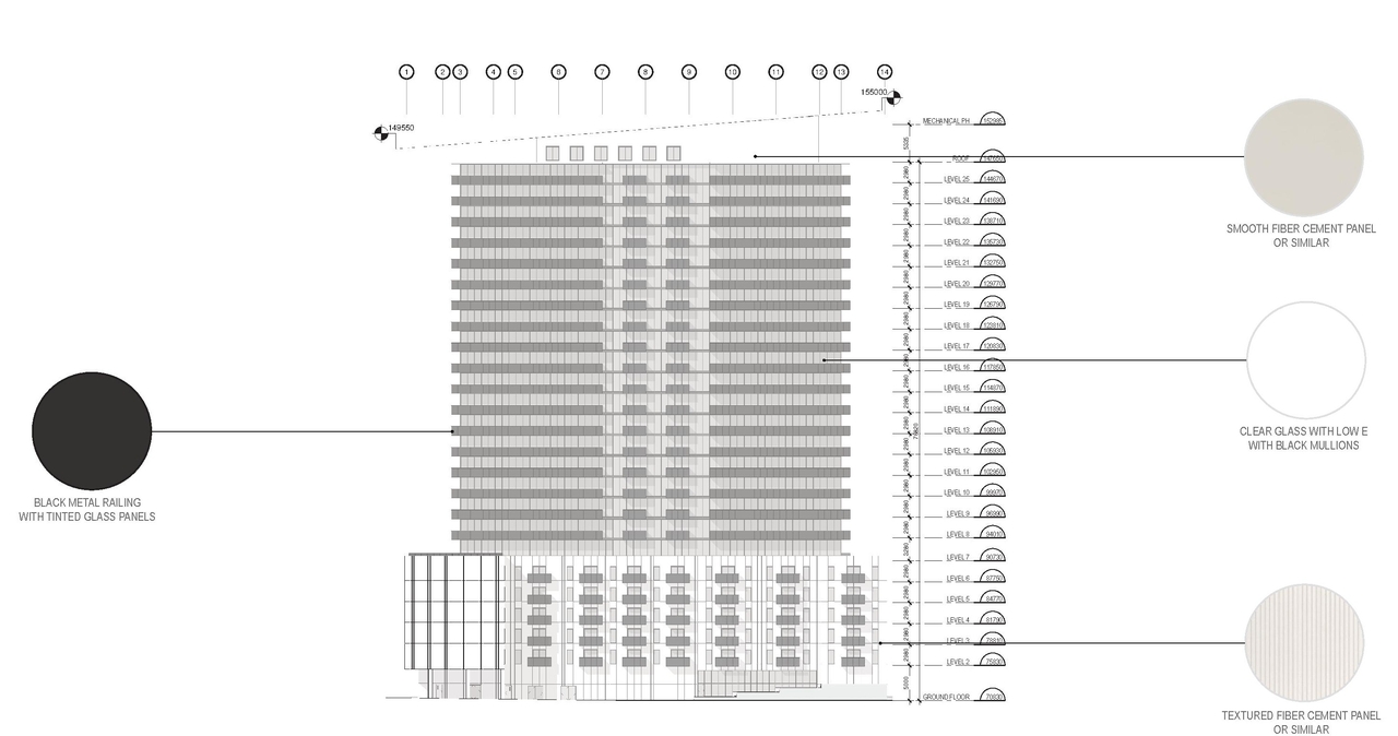
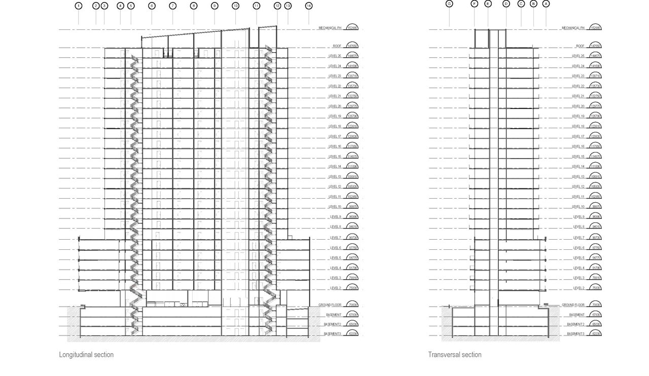
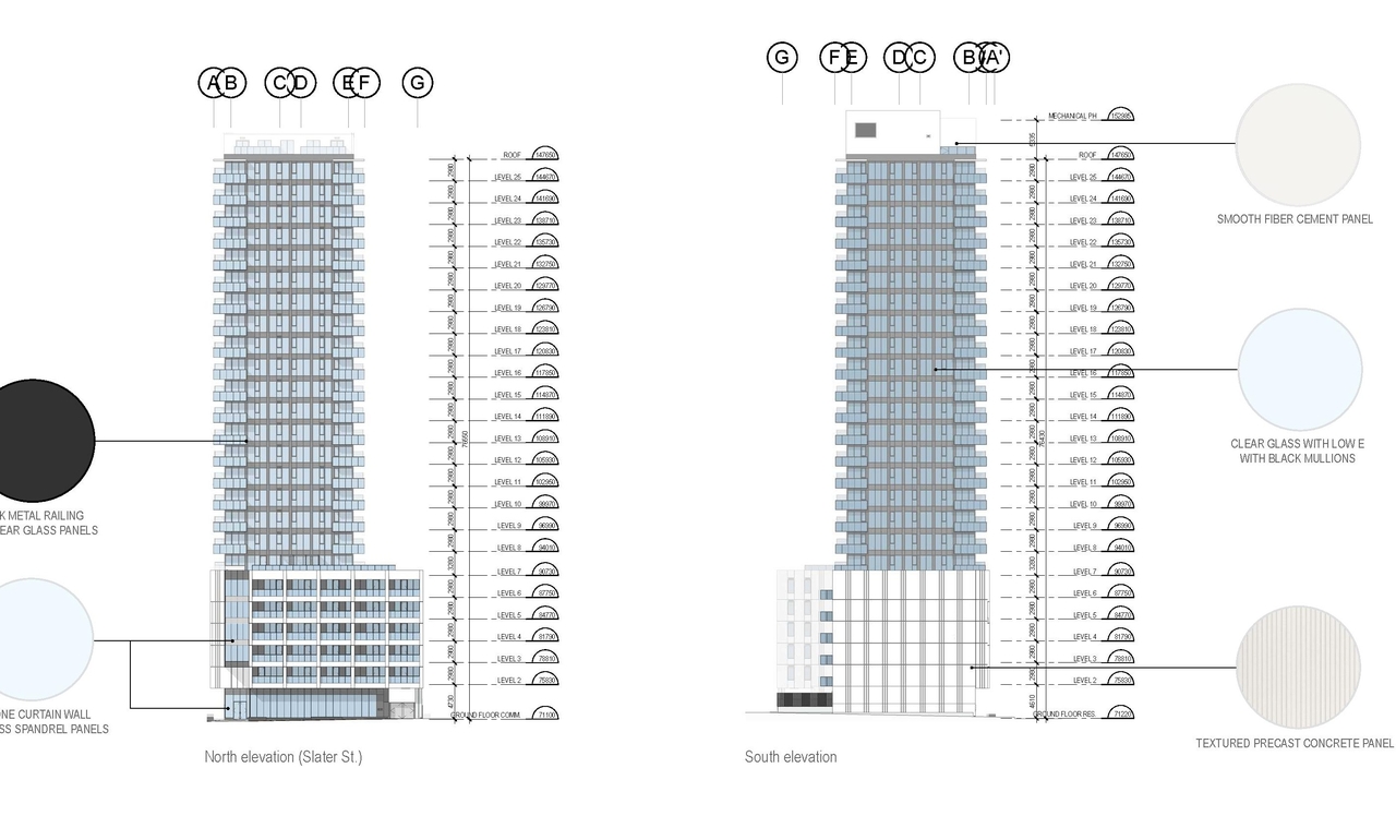
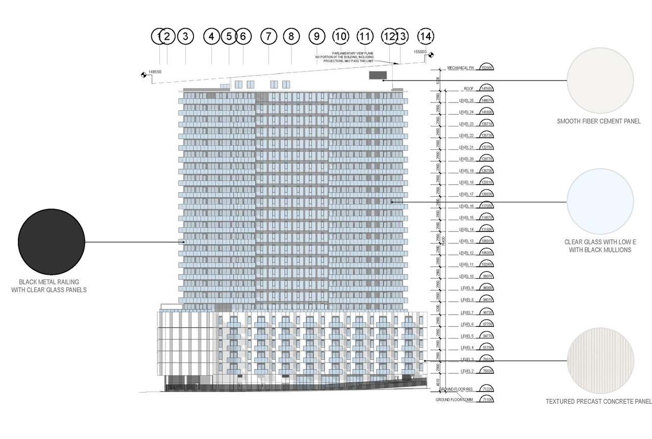
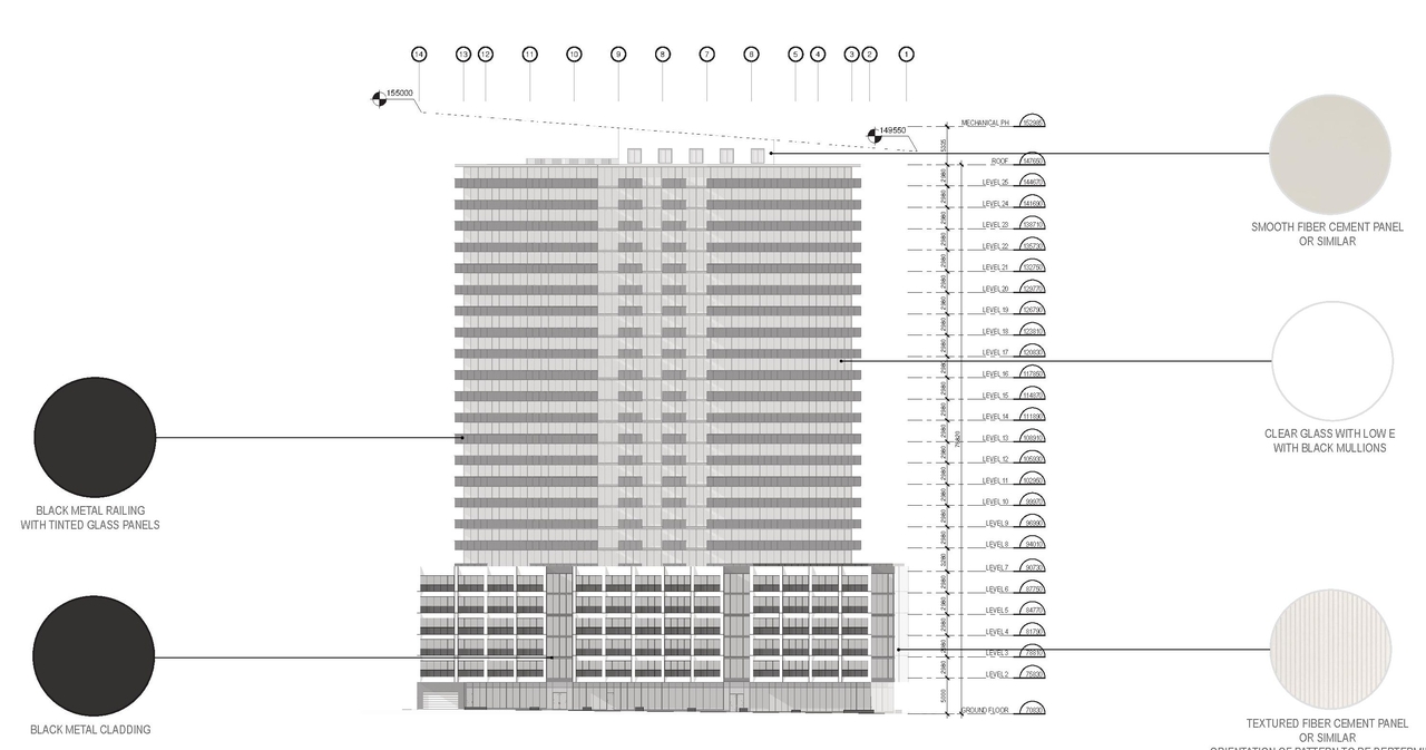
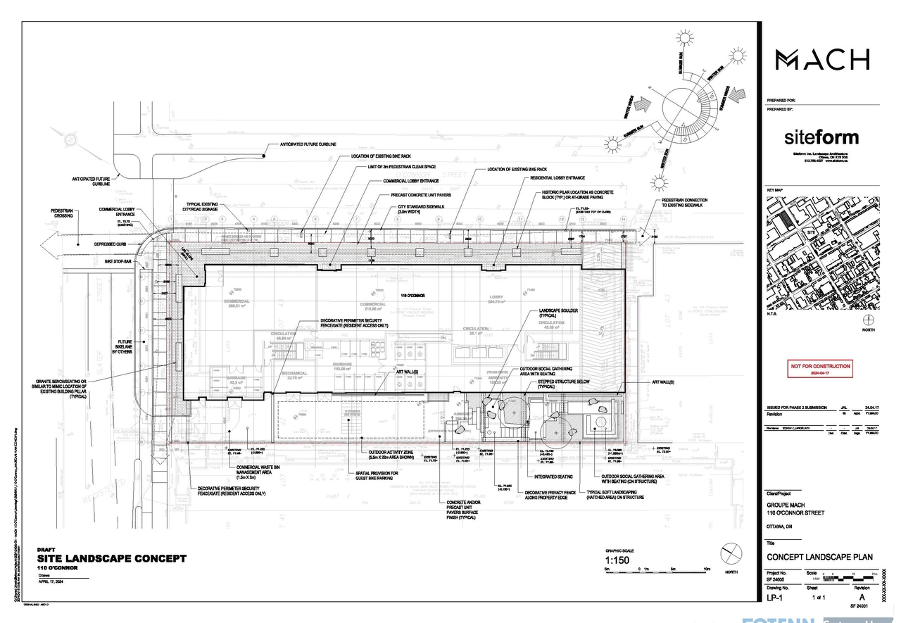
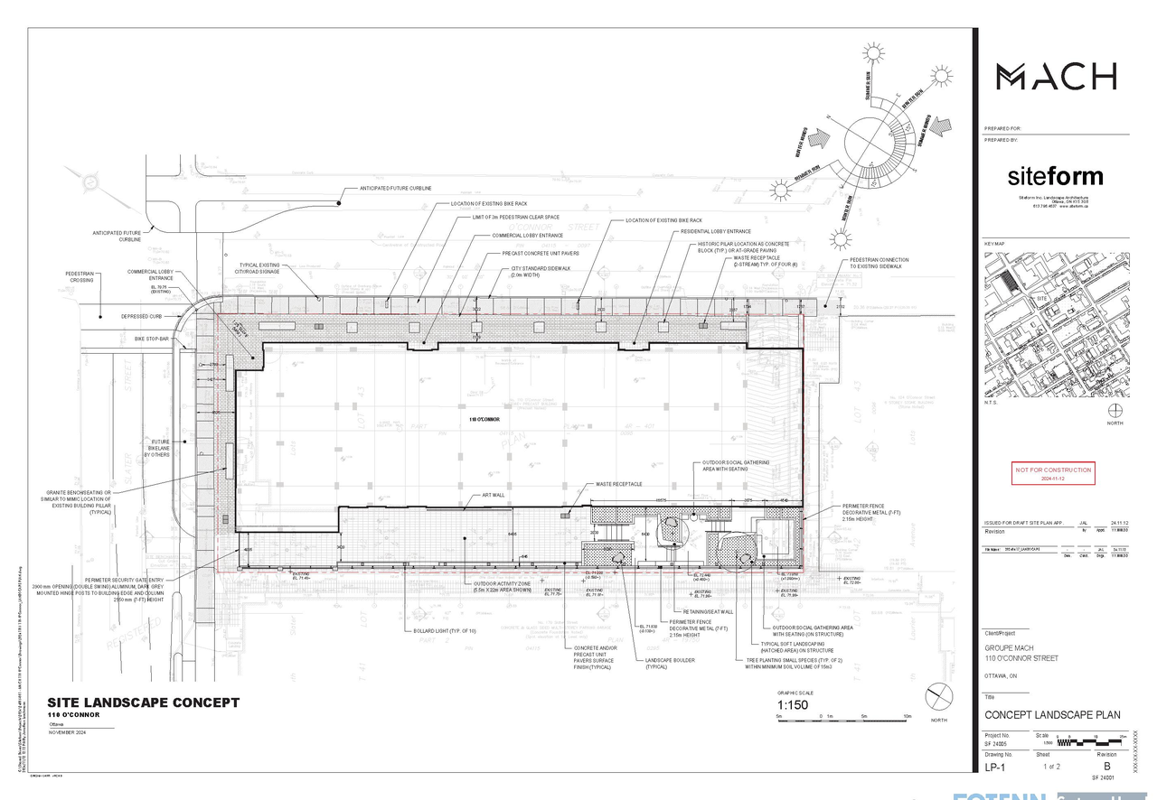
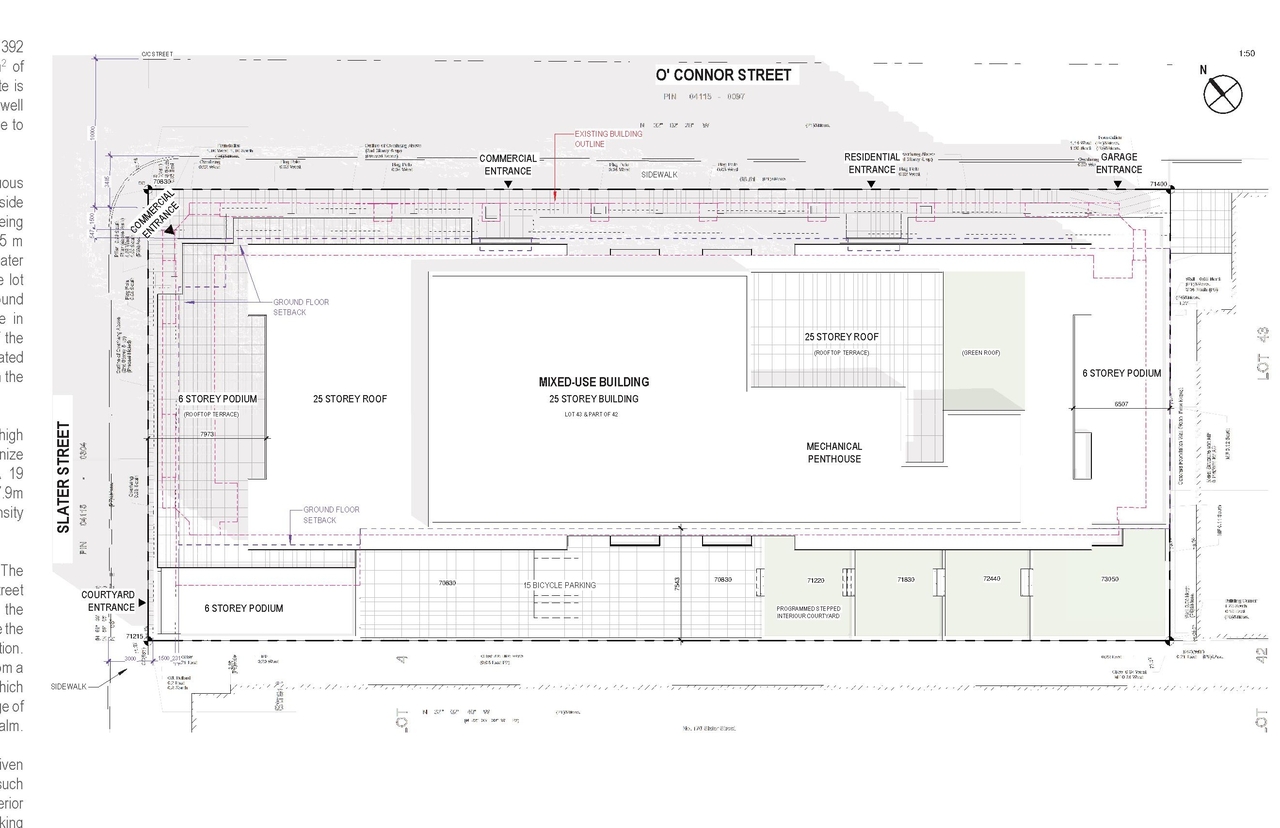
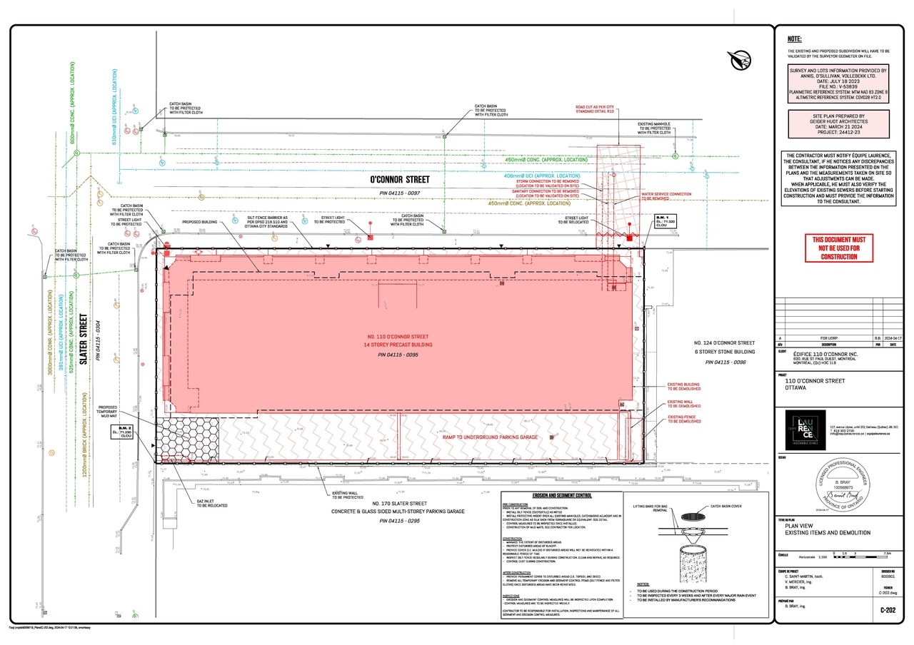
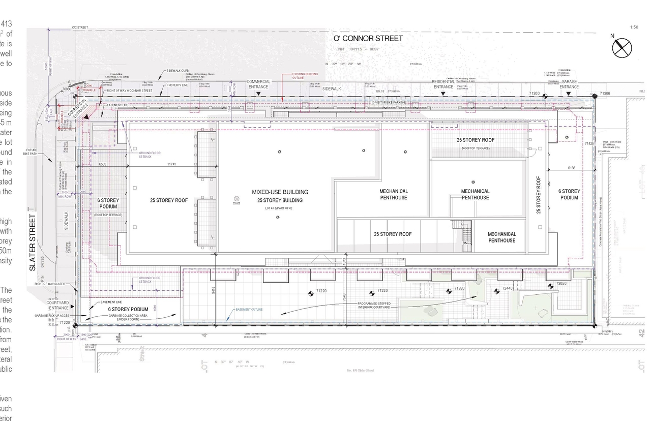
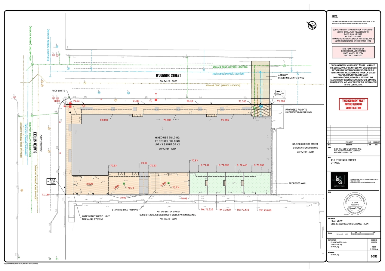
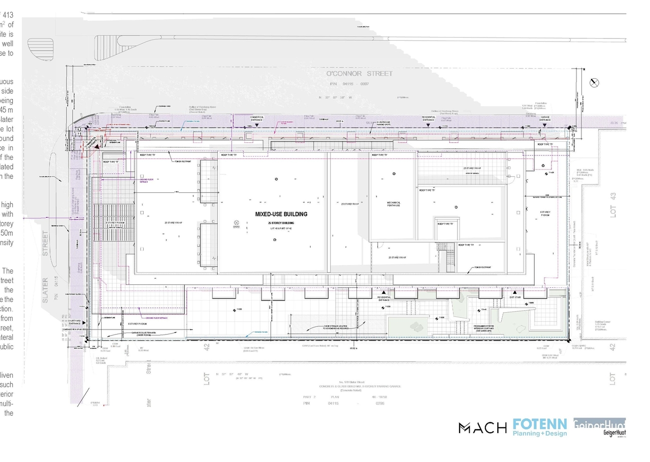
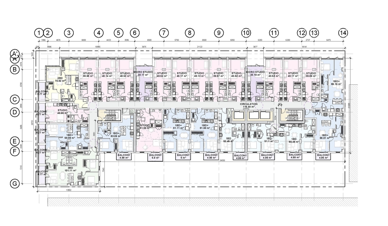
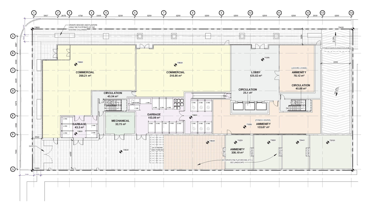
This mixed-use development proposes 413 residential units across 25 storeys, alongside 454 square meters of commercial space located on the ground floor. The development is situated on the site bounded by O’Connor and Slater streets, encompassing lots 124 O’Connor and 170 Slater.
Source:
City-provided description
Status
Active (On Circulation; Initial Submission Review)
Active (On Circulation; Initial Submission Review)
Project Type
Site Plan Control
Site Plan Control
Property Type
Residential
Commercial
Residential
Commercial
Building Scale (Max.)
Based on elevation drawings. Values may be approximate. See sources for exact figures.
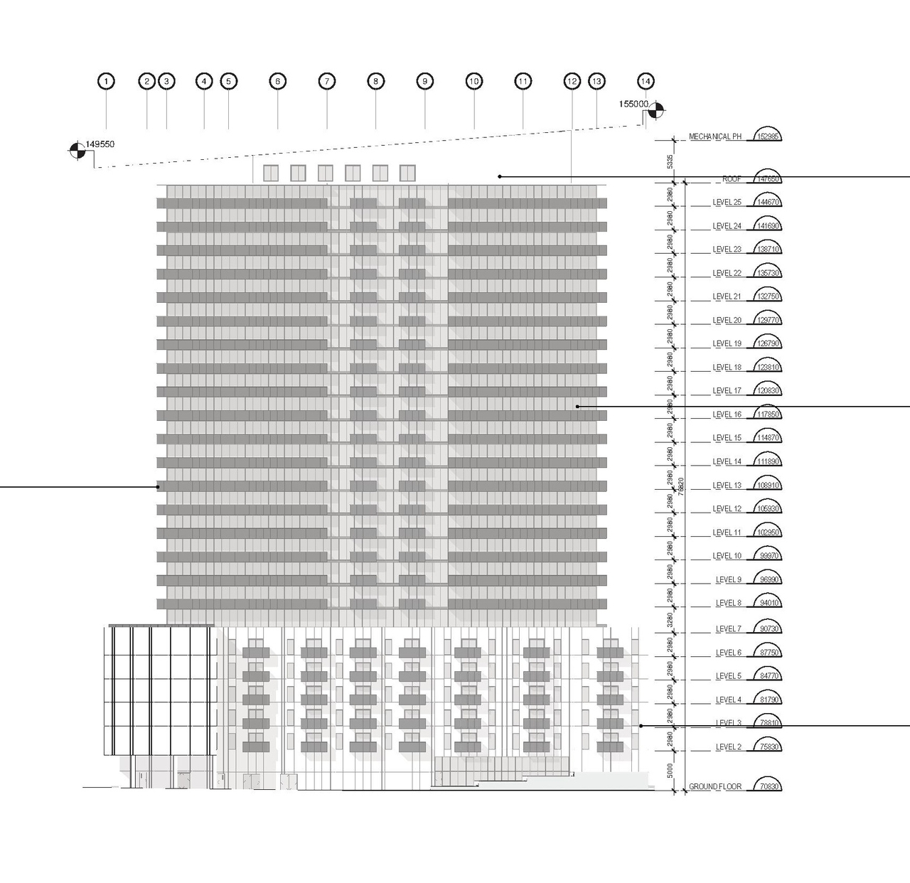
High-rise · 25 storeys
Renders#






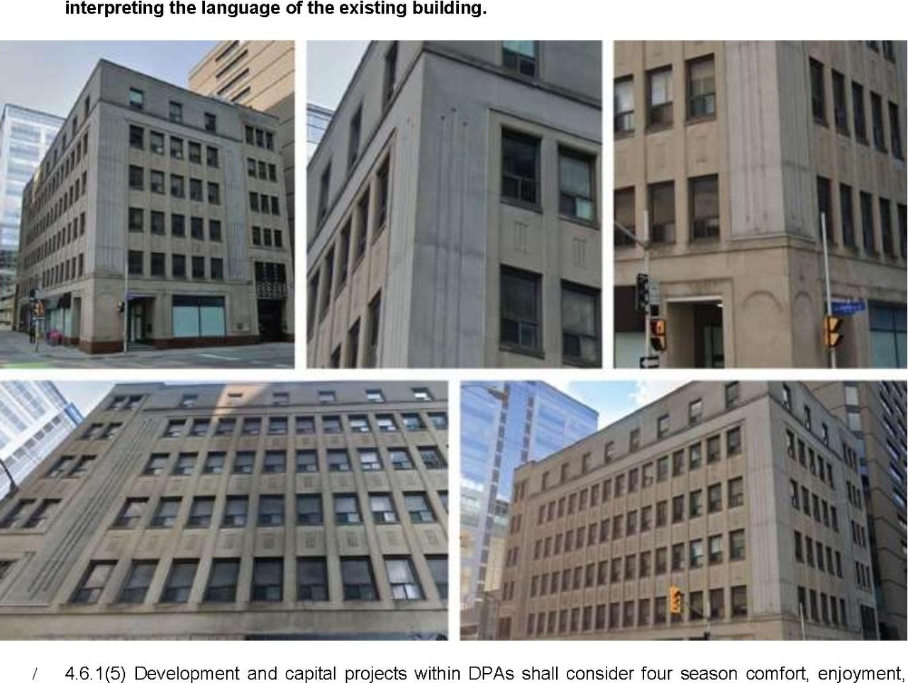


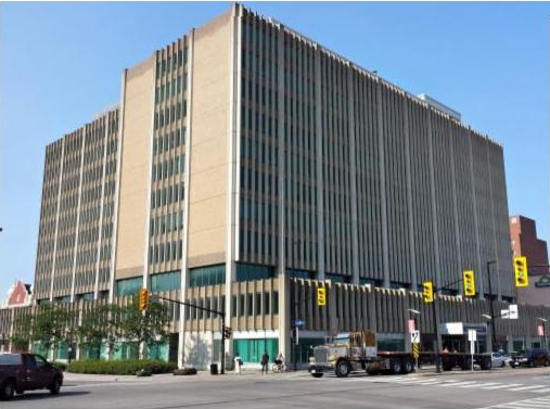

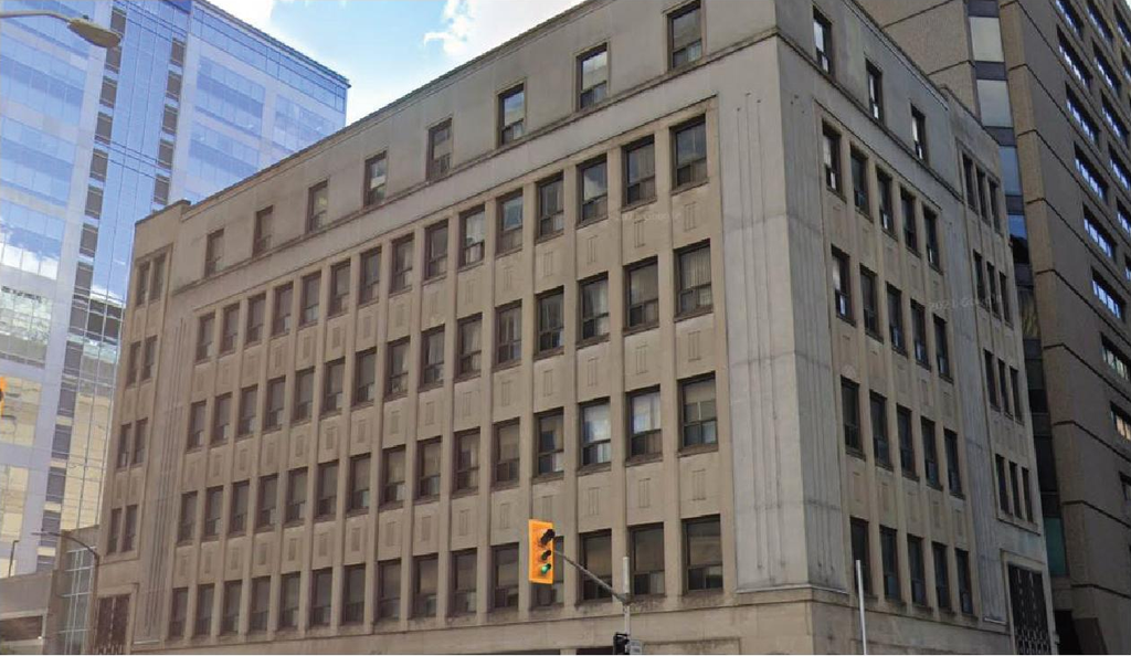
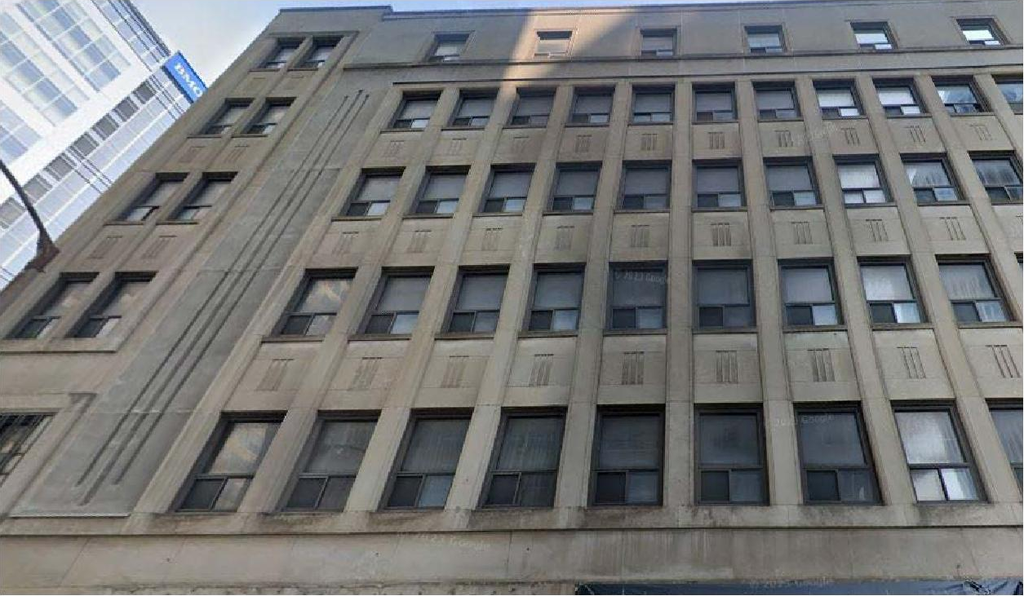
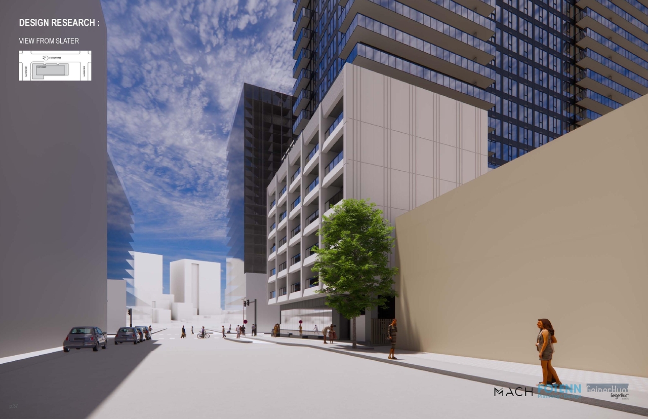
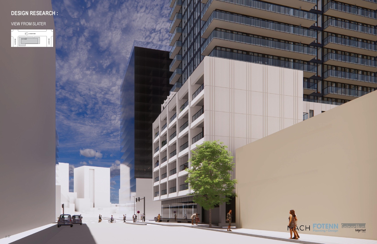
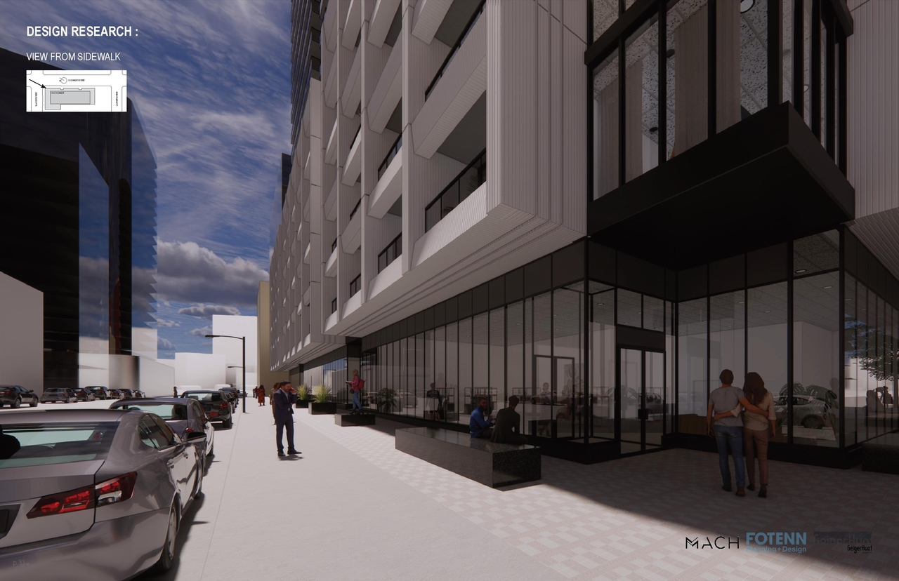
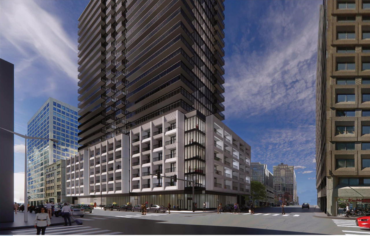
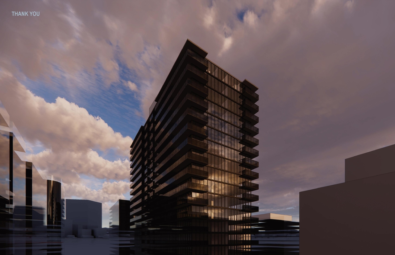
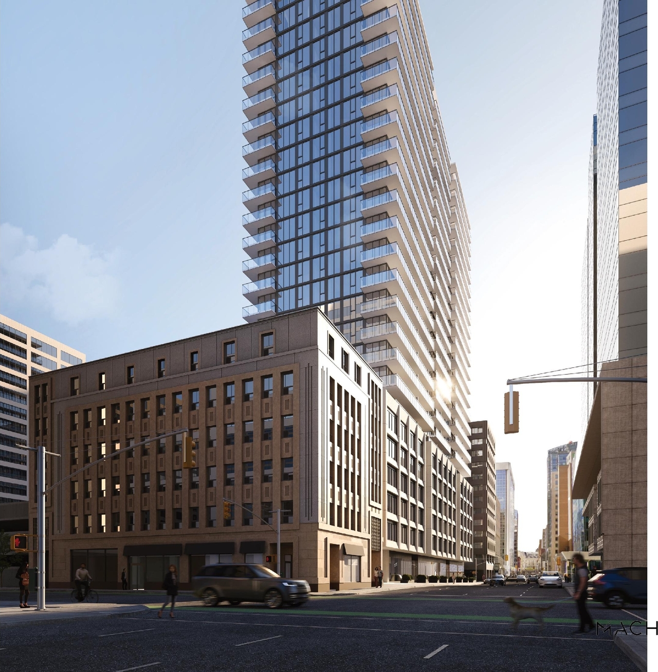
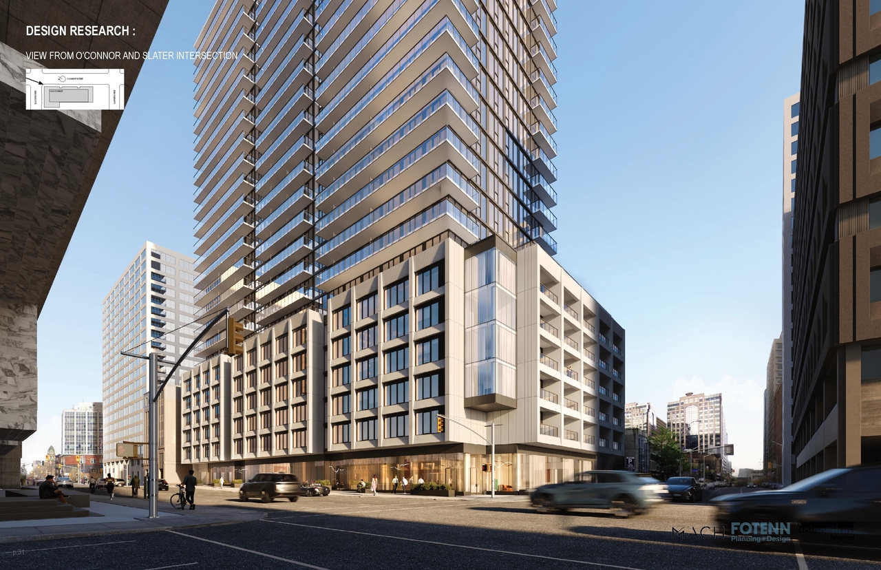



Location#
Select a marker to view the address.
Project Updates#
Added 4 images and 4 documents
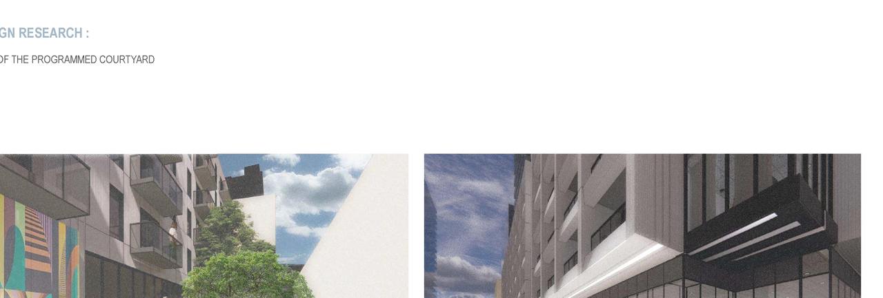
- 1 render
- 1 site plan
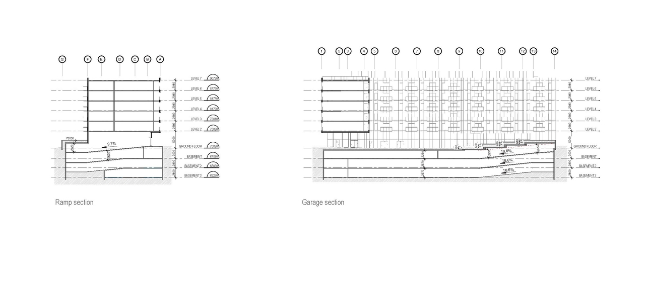
- 2 elevations
- 2026-05-19 - Traffic Plan for City High-Level - D07-12-25-0010
- 2026-05-19 - Site Plan Application - D07-12-25-0010
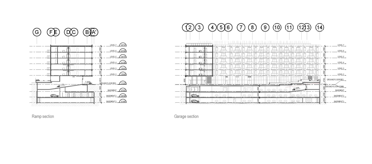
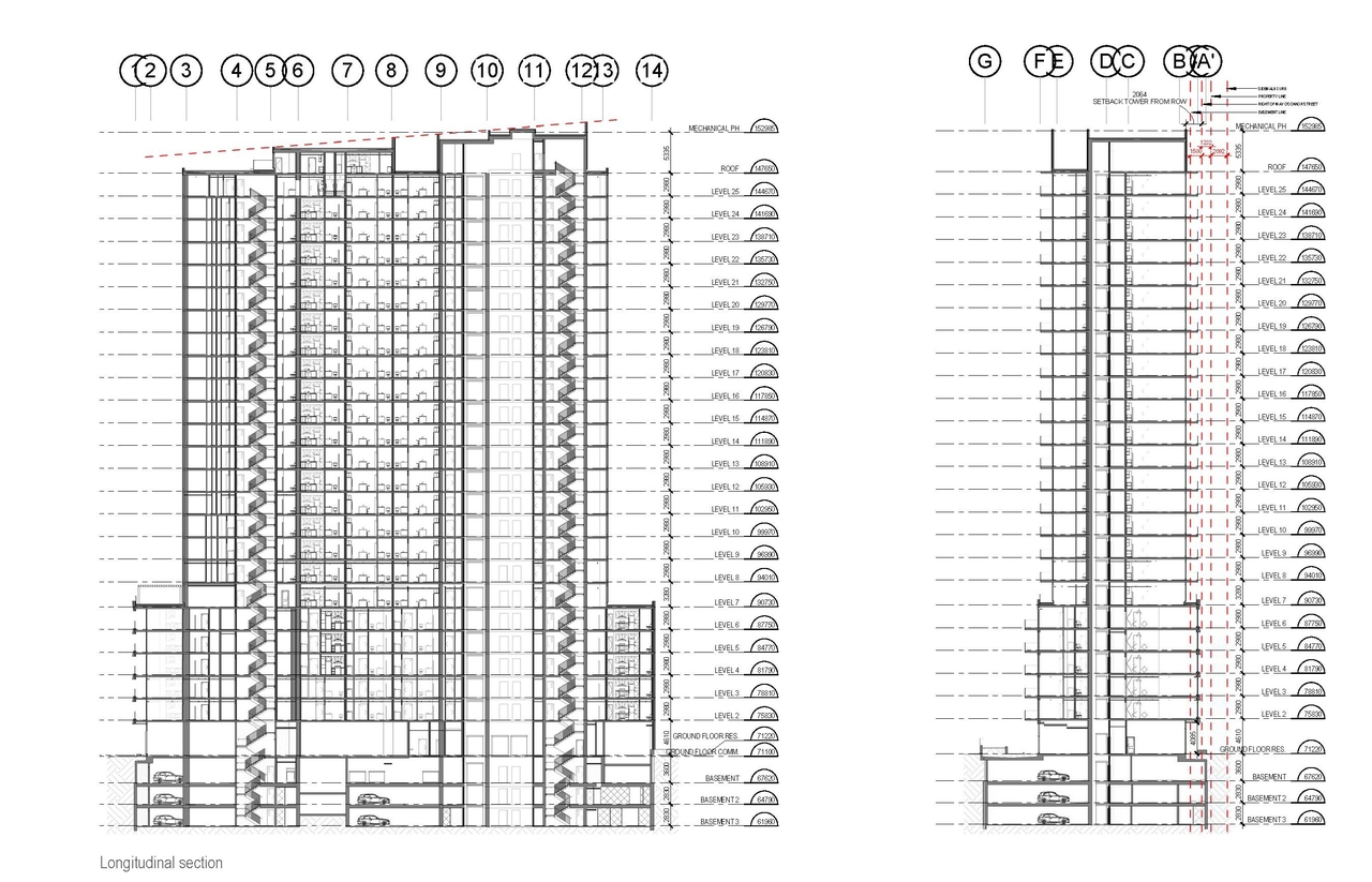
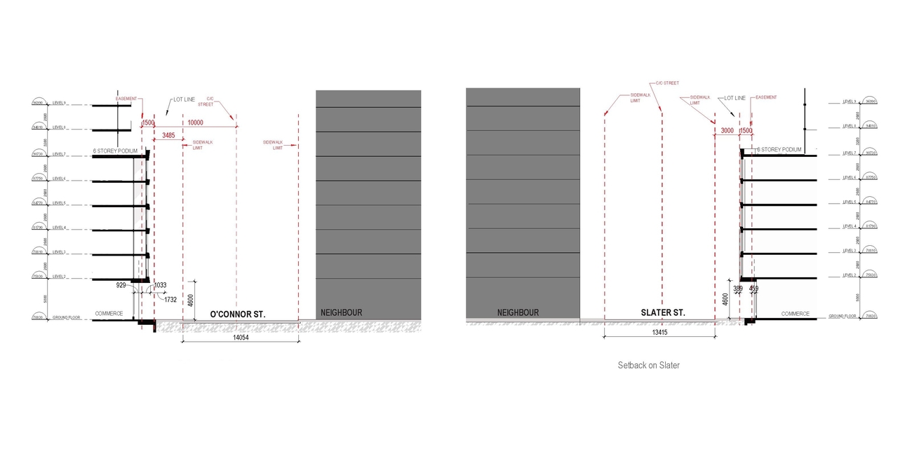
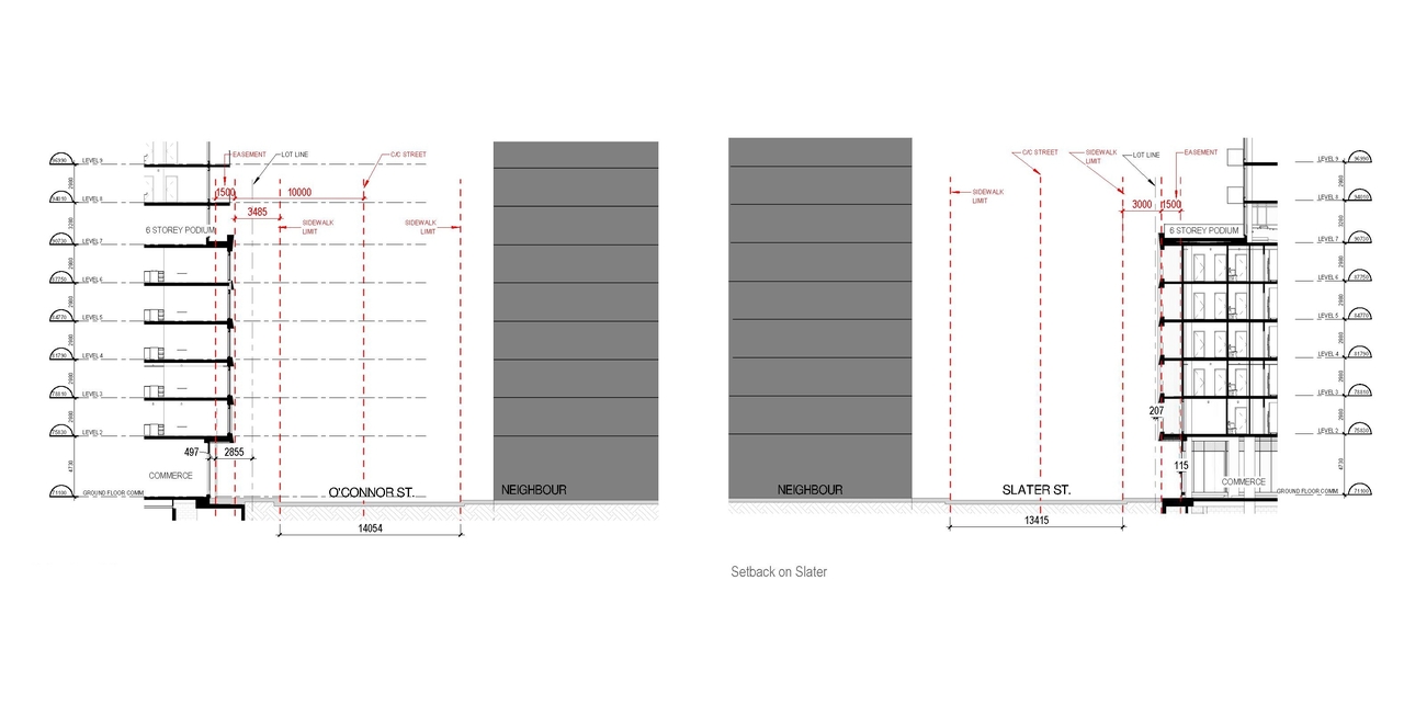
- 2026-05-19 - Site Plan & Elevations & Sections
- 2026-05-19 - Design Brief - D07-12-25-0010
Status Updated
- Status: Active (On Circulation; Initial Submission Review)
Added description, 68 images and 41 documents
- Status: Active (Community Heads Up - supporting documents to be posted later during circulation period)
- This mixed-use development proposes 413 residential units across 25 storeys, alongside 454 square meters of commercial space located on the…
- 38 renders
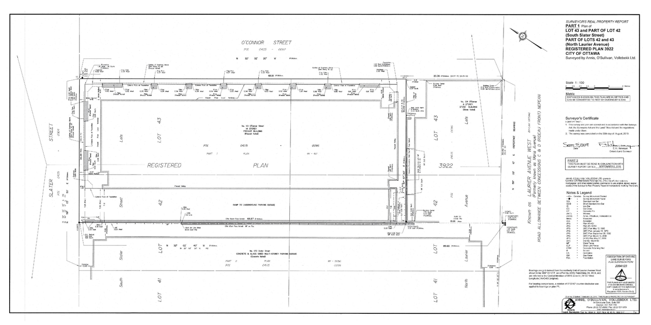
- 8 site plans
- 13 elevations
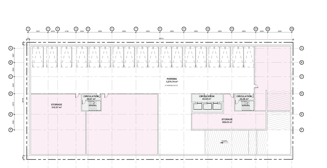
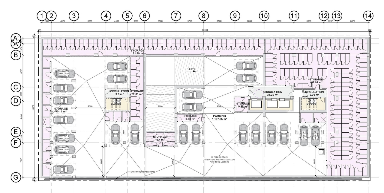
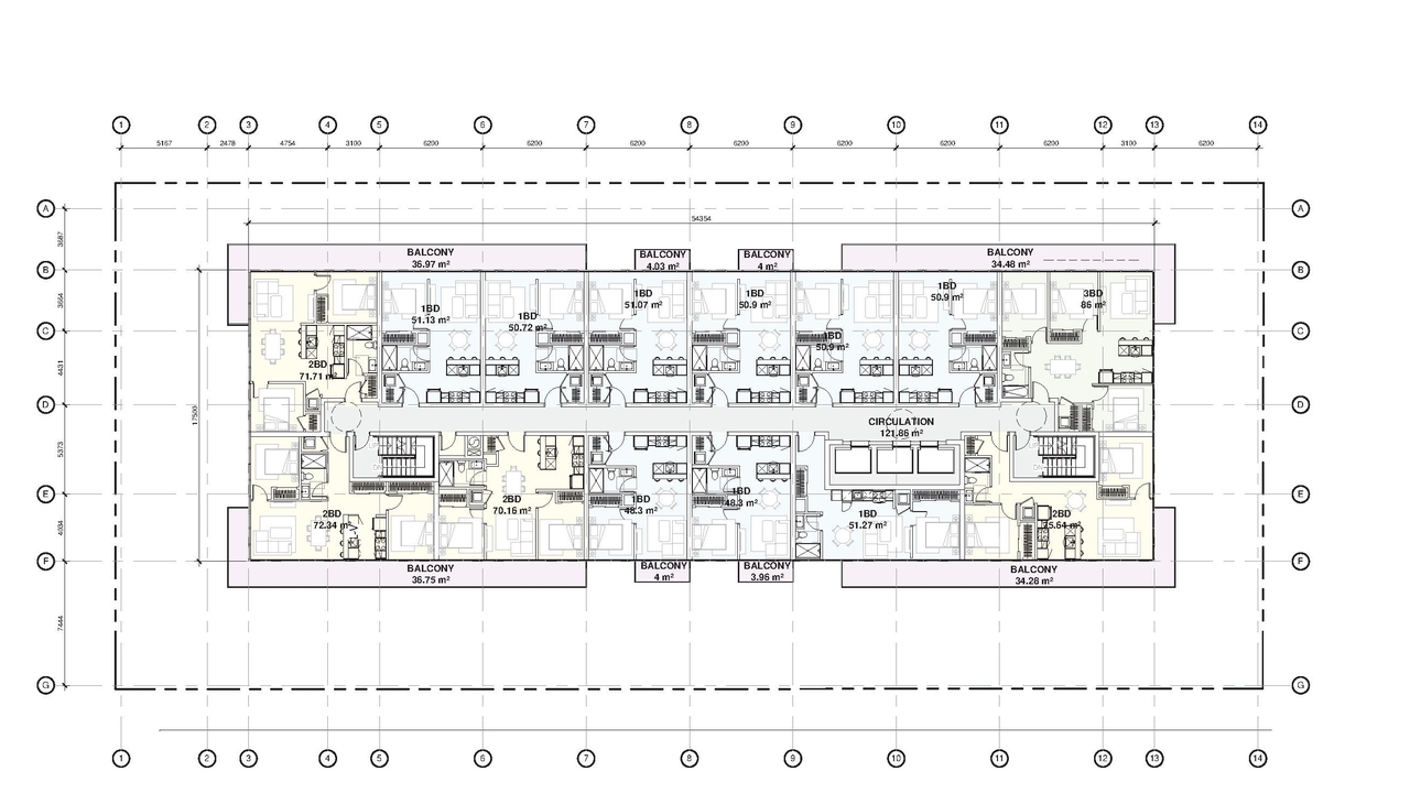
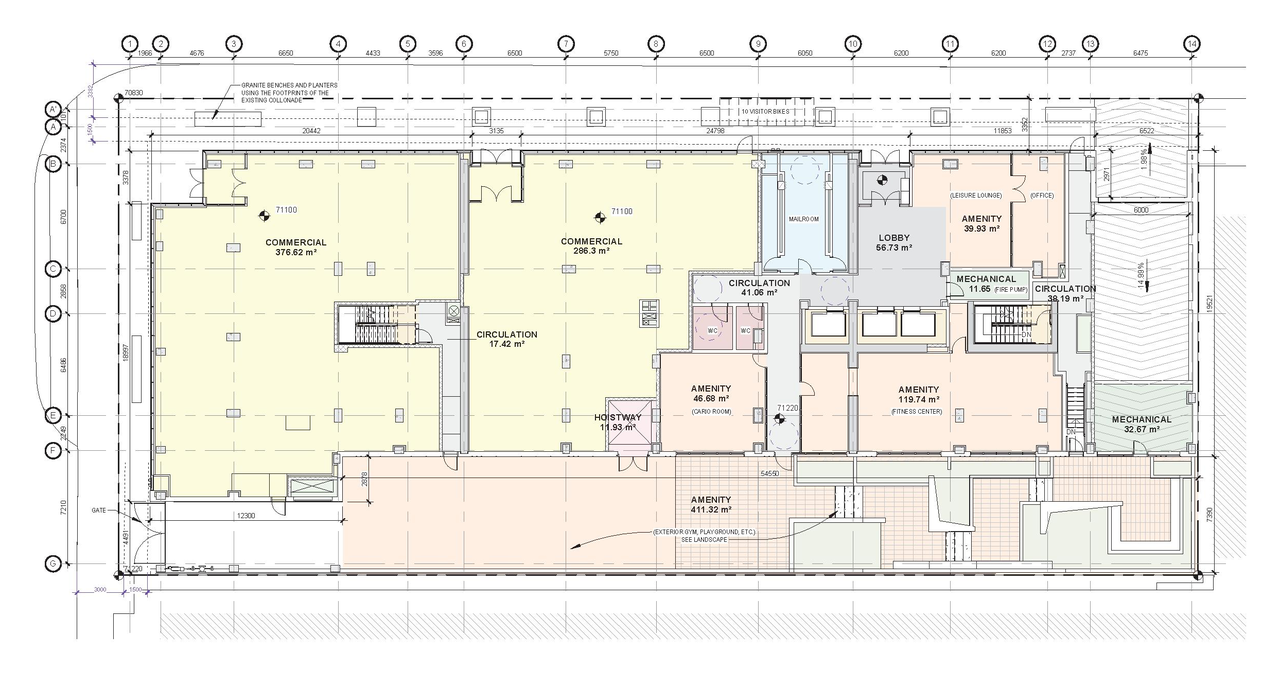
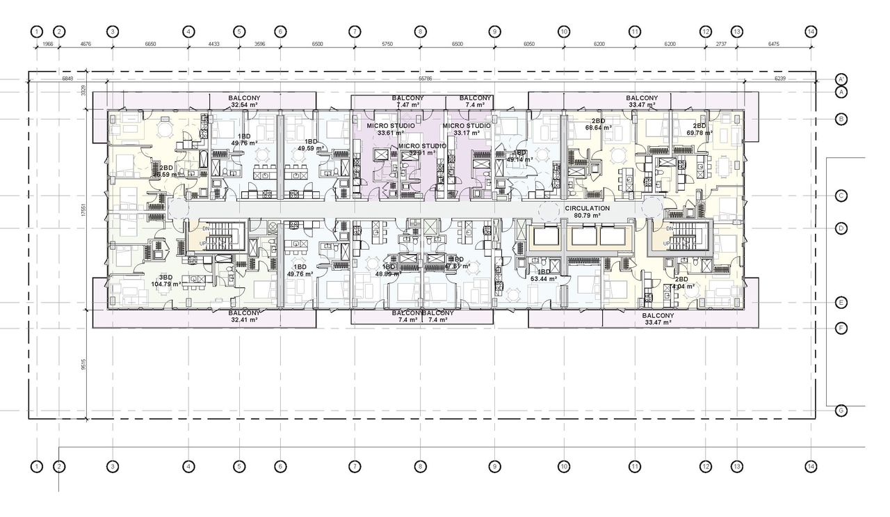
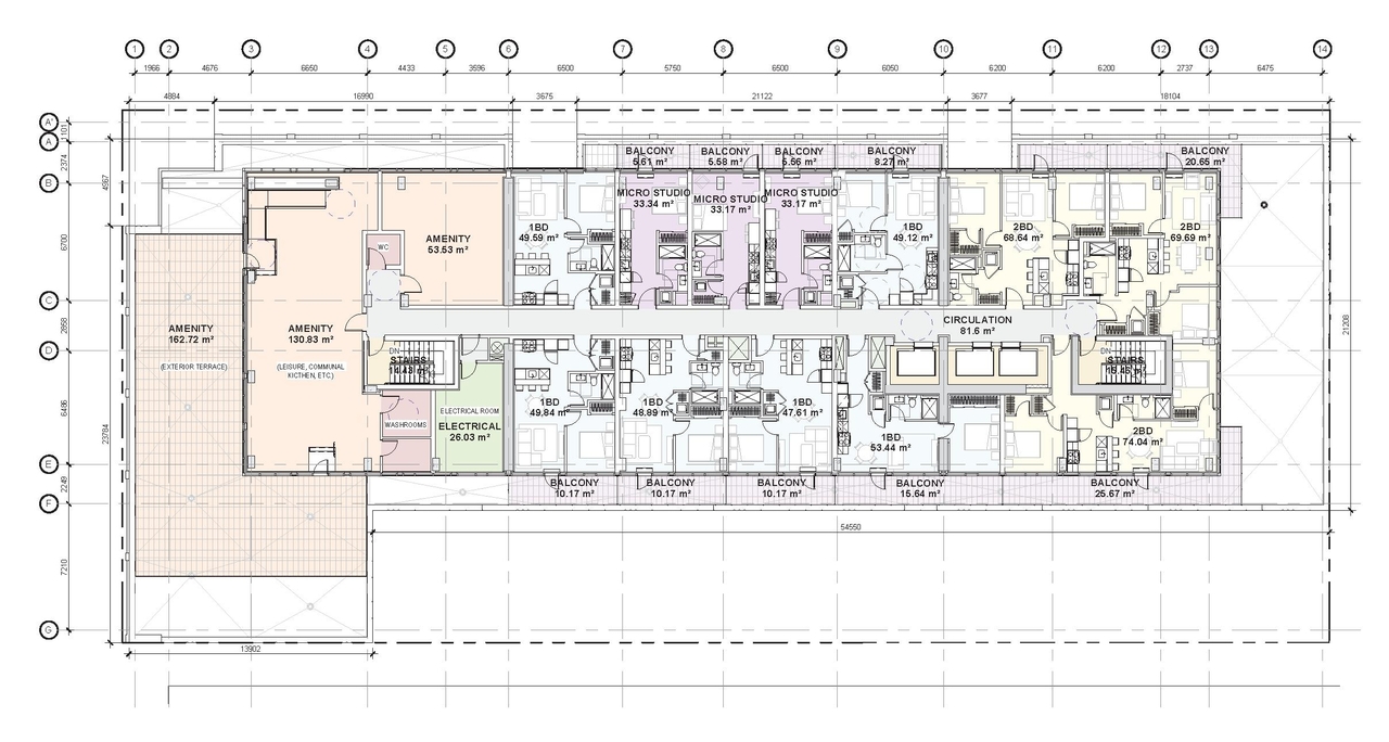
- 9 floor plans
- 2025-12-04 - Application Summary - D07-12-25-0010
- 2025-10-30 - Urban Design Brief - D07-12-25-0010
- 2025-10-30 - Truck Turning Plan - D07-12-25-0010
- 2025-10-30 - SWM and Serviceability Report - D07-12-25-0010
- 2025-10-30 - Phase II ESA - D07-12-25-0010
- 2025-10-30 - Phase I ESA - D07-12-25-0010
- 2025-10-30 - Landscape Plan - D07-12-25-0010
- 2025-10-30 - Landscape Details - D07-12-25-0010
- 2025-10-30 - Grading & Drainage Plans - D07-12-25-0010
- 2025-10-30 - Geotechnical Subsoil Investigation Report - D07-12-25-0010
- 2025-10-30 - Architectural Plans - D07-12-25-0010
- 2025-07-22 - Zoning Confirmation Report - D07-12-25-0010
- 2025-07-22 - Urban Design Brief - D07-12-25-0010
- 2025-07-22 - UDRP Report - D07-12-25-0010
- 2025-07-22 - Traffic Noise Control Study - D07-12-25-0010
- 2025-07-22 - TIA Final Report - D07-12-25-0010s
- 2025-07-22 - Surveying Report - D07-12-25-0010
- 2025-07-22 - Stormwater Management & Servicing Report - D07-12-25-0010
- 2025-07-22 - Stationary Noise Assessment - D07-12-25-0010
- 2025-07-22 - Site Servicing Study Plans - D07-12-25-0010
- 2025-07-22 - Site Plan - D07-12-25-0010
- 2025-07-22 - Preliminary Construction Management Plan - D07-12-25-0010
- 2025-07-22 - Phase Two ESA - D07-12-25-0010
- 2025-07-22 - Phase One ESA - D07-12-25-0010
- 2025-07-22 - Landscape Plan - D07-12-25-0010
- 2025-07-22 - Grading & Drainage Plan - D07-12-25-0010
- 2025-07-22 - Geotechnical Study - D07-12-25-0010
- 2025-07-22 - Cultural Heritage Evaluation Report - D07-12-25-0010
- 2025-07-22 - Civil Plans - D07-12-25-0010
- 2025-07-22 - Building Elevations South West - D07-12-25-0010
- 2025-07-22 - Building Elevations North East - D07-12-25-0010
- 2025-01-31 - Urban Design Brief - D07-12-25-0010
- 2025-01-31 - Transportation Impact Assessment - D07-12-25-0010
- 2025-01-31 - Site Servicing Study - D07-12-25-0010
- 2025-01-31 - PRELIMINARY CONSTRUCTION MANAGEMENT PLAN - D07-12-25-0010
- 2025-01-31 - LANSCAPE PLAN- D07-12-25-0010
- 2025-01-31 - Heritage Acknowledgement Report - D07-12-25-0010
- 2025-01-31 - Grading and Drainage Plan - D07-12-25-0010
- 2025-01-31 - Geotechnical Study - D07-12-25-0010
- 2025-01-31 - Building Elevations South-West - D07-12-25-0010
- 2025-01-31 - Building Elevations North-East - D07-12-25-0010
Site Plans, Elevations and Floor Plans#


Additional Information#
| Date Initiated | 2025-01-31 |
| Ward | Ward 14 - Ariel Troster |