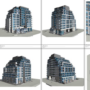
70 Richmond Rd./376 Island Park Dr.
Summary#
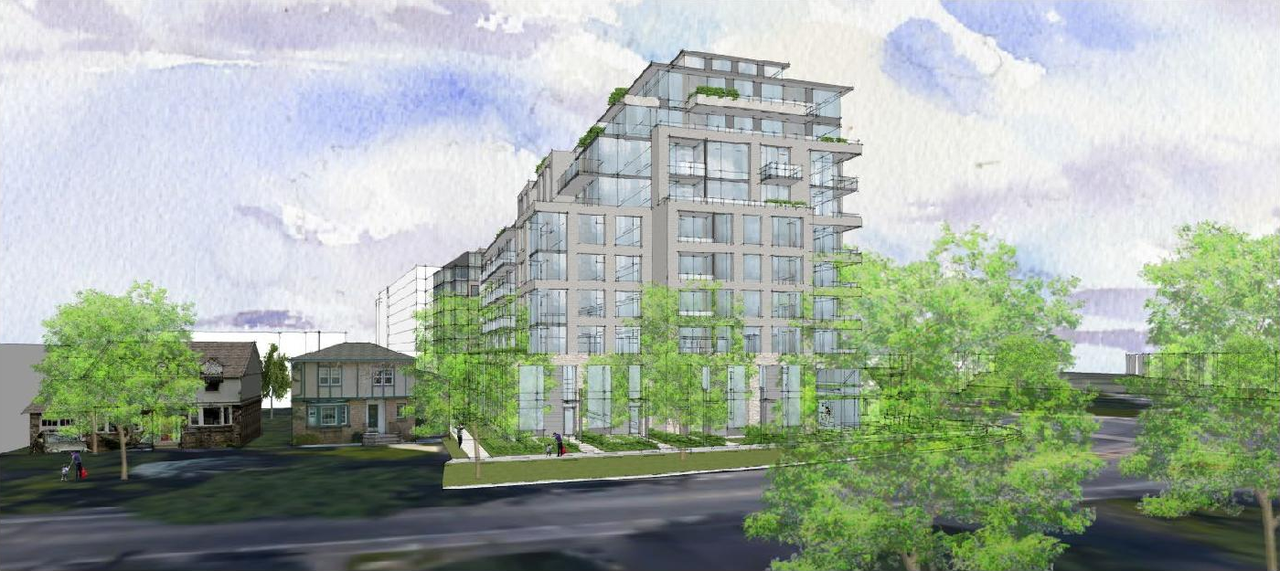
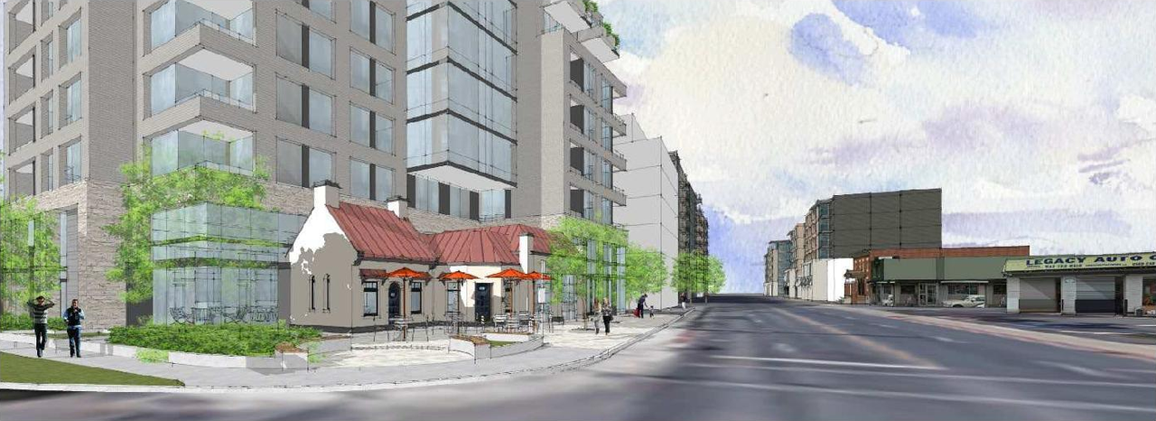
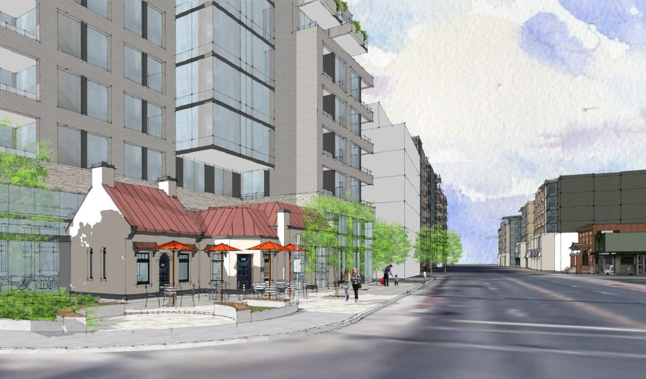
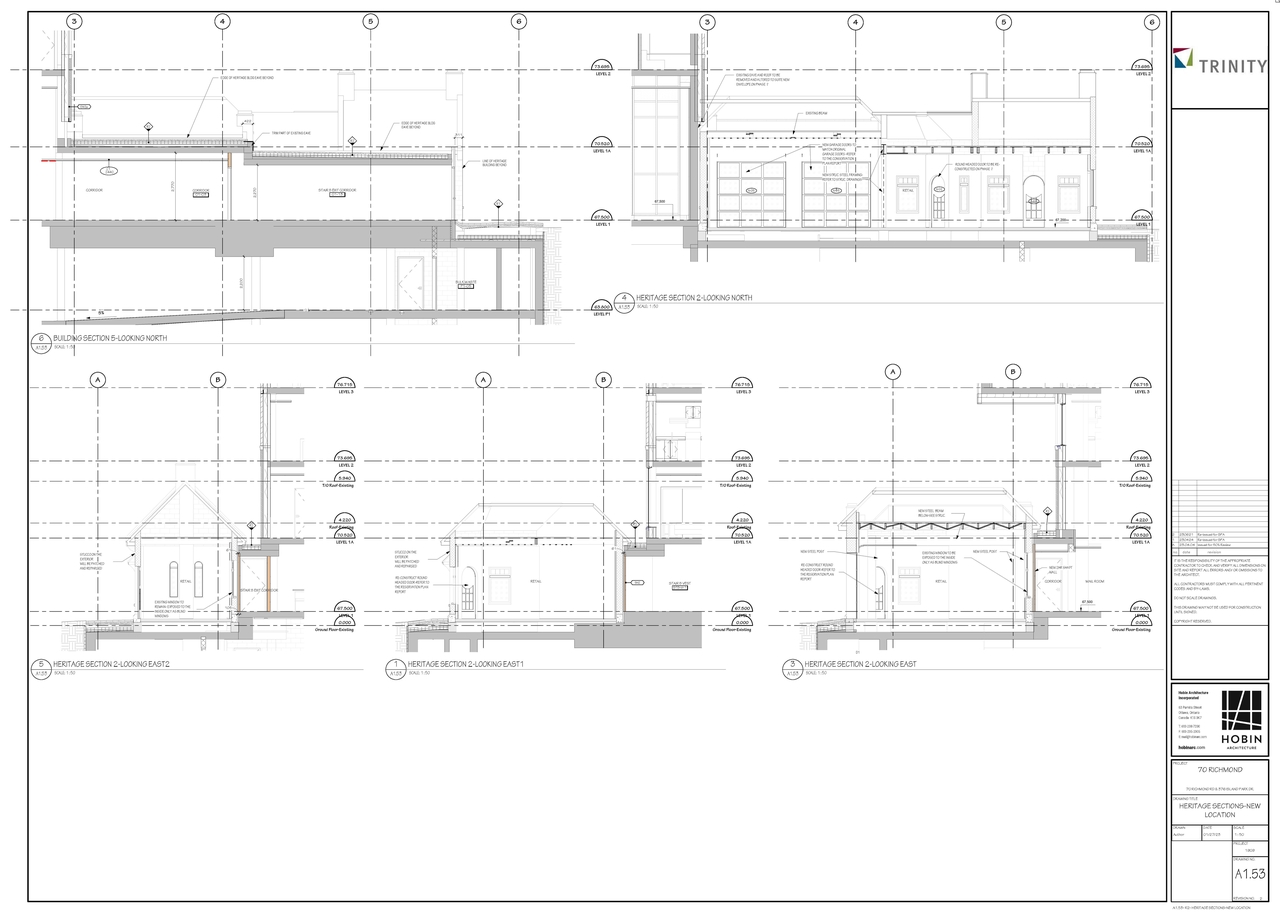
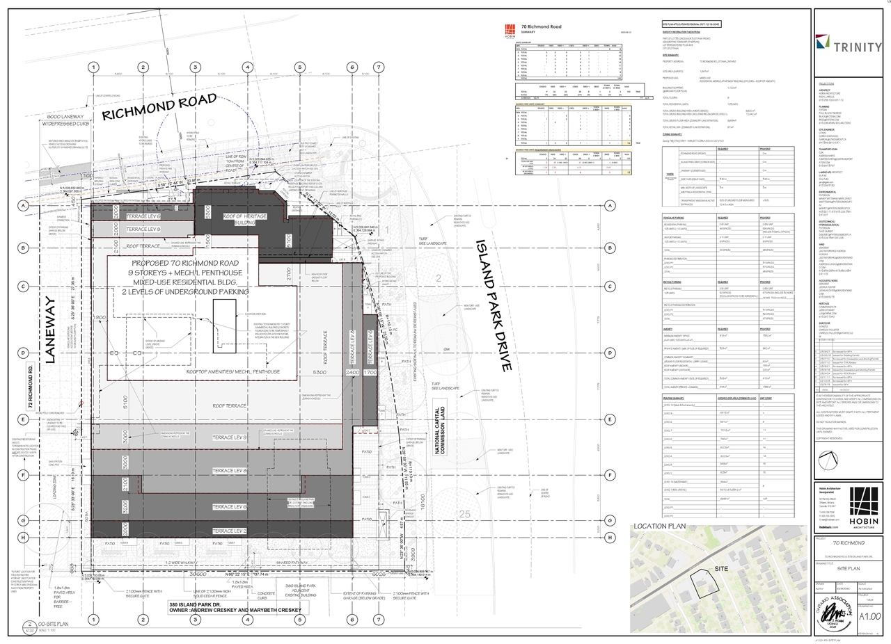
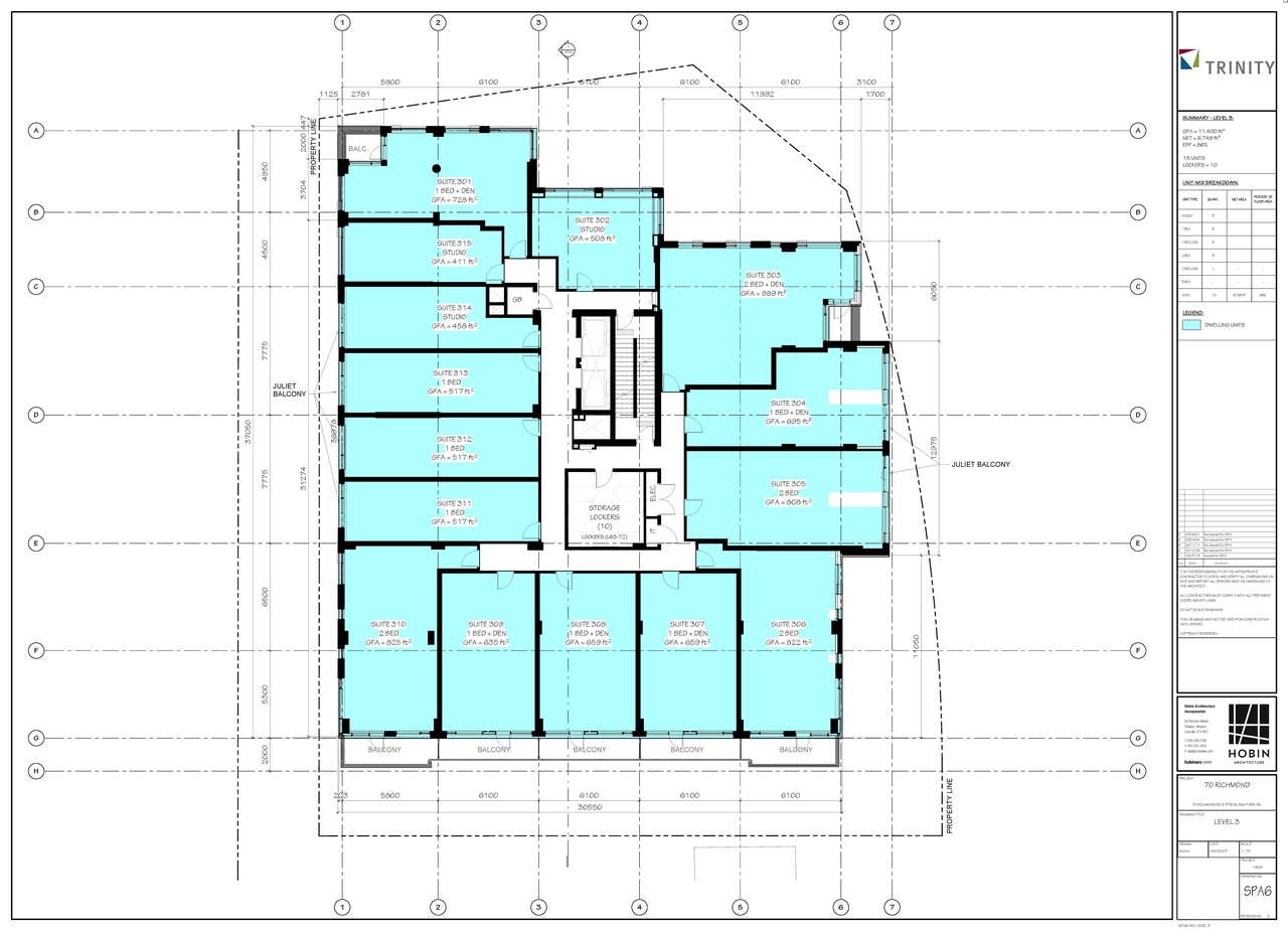
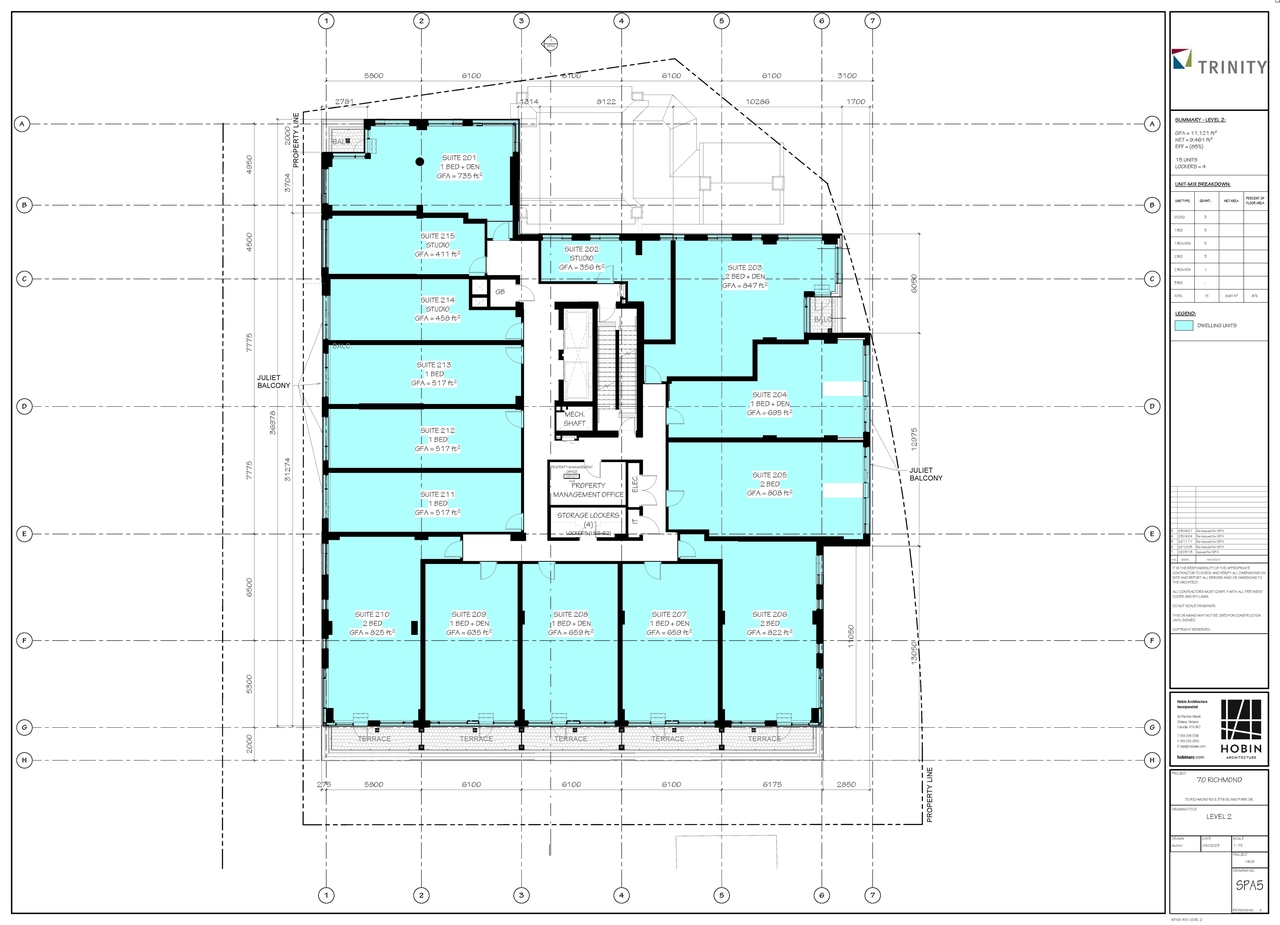
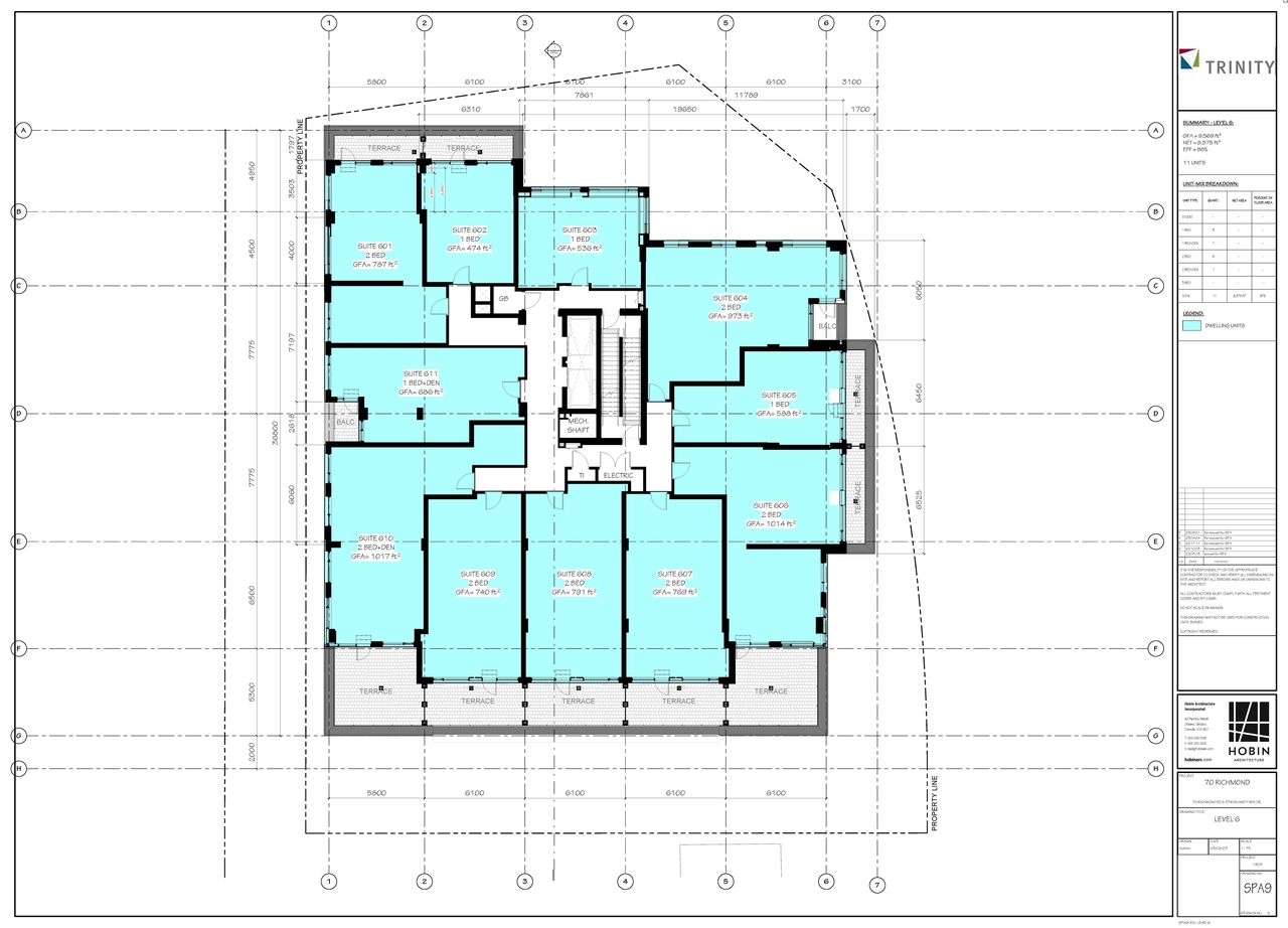
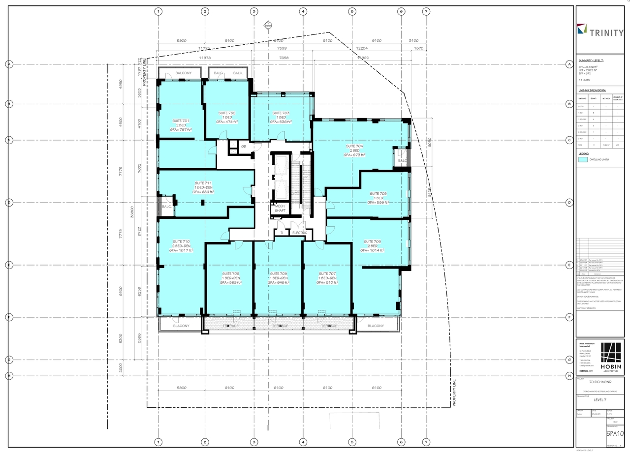
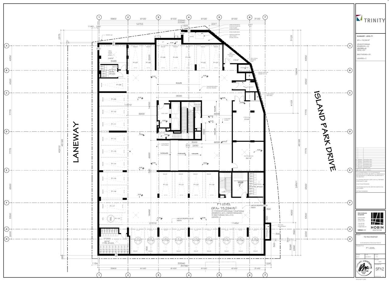
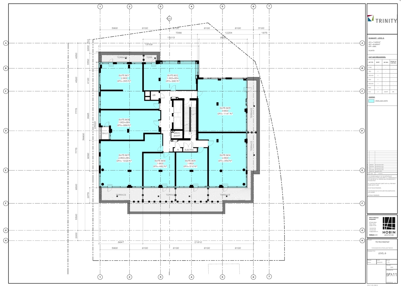
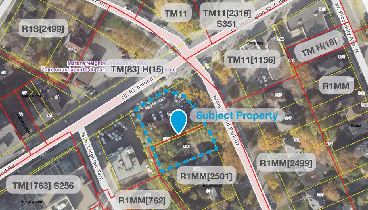
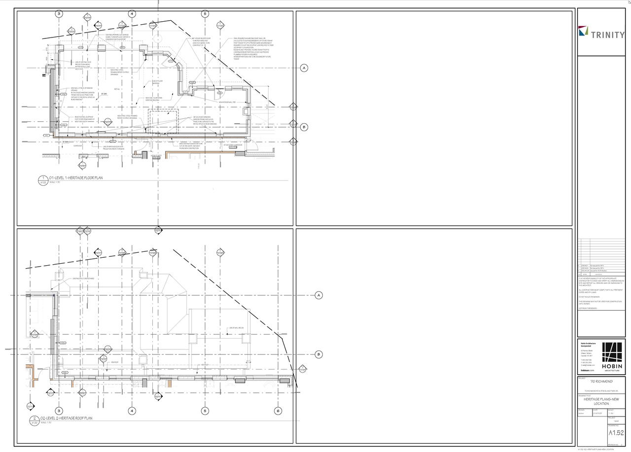
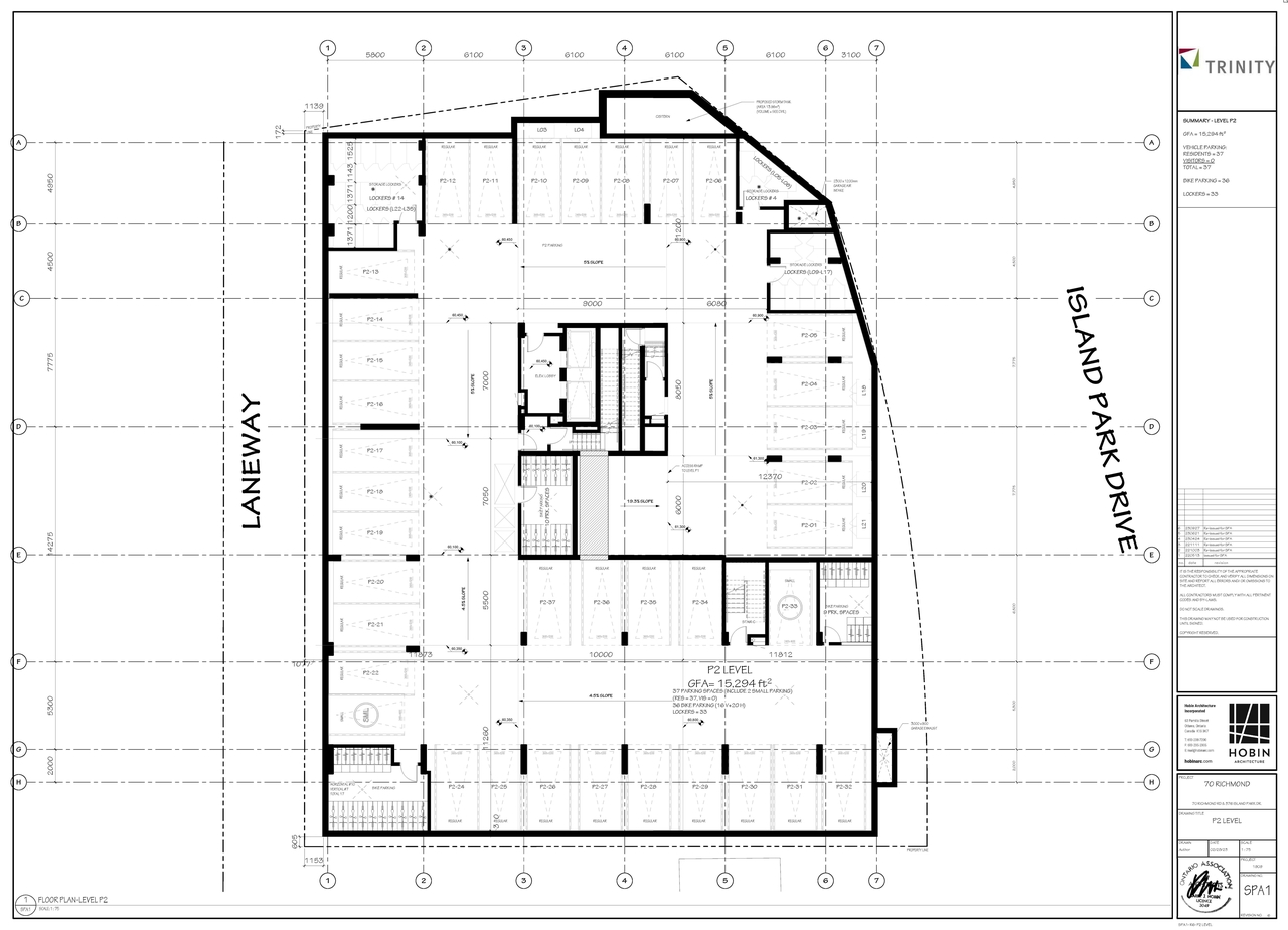
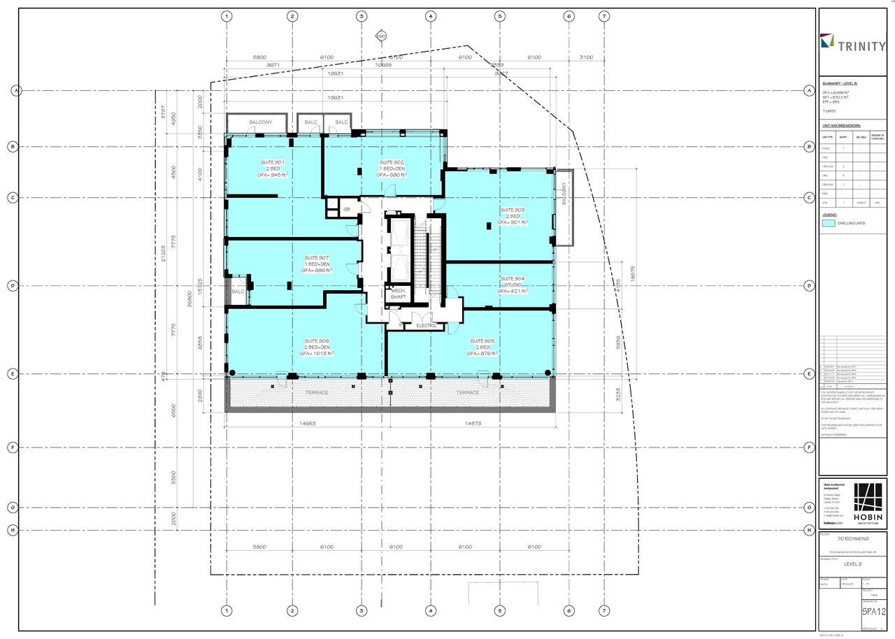
The proposal is for a nine-storey mixed-use building that incorporates the heritage gas station as retail space and features eighty-eight residential units above. The development includes seventy-one vehicular parking spaces within an underground garage and eighty-eight bicycle parking spaces.
Source:
City-provided description
Status
Inactive (Agreement Registered - Final Legal Clearance Given)
Inactive (Agreement Registered - Final Legal Clearance Given)
Property Type
Residential
Commercial
Residential
Commercial
Building Scale (Max.)
Based on elevation drawings. Values may be approximate. See sources for exact figures.
Mid-rise · 9 storeys
· 39.58 m
Renders#
Location#
Select a marker to view the address.
Project Updates#
Added description, 16 images and 48 documents
- Status: Inactive (Agreement Registered - Final Legal Clearance Given)
- Proposed 9 storey mixed-use building, relocating and integrating the heritage gas station as retail space, with 88 residential units above.…
- 3 renders
- 8 site plans
- 1 elevation
- 4 floor plans
- l2024-06-27 - Limited Commence Work Notification - D07-12-22-0082
- 2023-11-22 - Signed Delegated Authority Report - D07-12-22-0082
- 2023-11-22 - Approved Civil Drawings - D07-12-22-0082
- 2023-11-22 - Approved Architectural Plans - D07-12-22-0082
- 2023-10-03 - Site Plan and Floor Plans - D07-12-22-0082
- 2023-10-03 - Landscape Plans - D07-12-22-0082
- 2023-10-03 - Functional Servicing and SWM Report - D07-12-22-0082
- 2023-10-03 - Civil Drawings - D07-12-22-0082
- 2023-06-28 - Stormwater Management Report - D07-12-22-0082
- 2023-06-28 - Site, Heritage Floor , Elevation Sections, Views Plans - D07-12-22-0082
- 2023-06-28 - Landscape Plan - D07-12-22-0082
- 2023-06-28 - CONSERVATION PLAN - D07-12-22-0082
- 2023-06-28 - Civil Drawings - D07-12-22-0082
- 2023-05-01 - TREE PROTECTION PLAN - D07-12-22-0082
- 2023-05-01 - Transportation Impact Assessment - D07-12-22-0082
- 2023-05-01 - Site, Floor, Sections, Elevations Plans - D07-12-22-0082
- 2023-05-01 - Servicing & Stormwater Management Report - D07-12-22-0082
- 2023-05-01 - Landscape Plan - D07-12-22-0082
- 2023-05-01 - CONSERVATION PLAN - D07-12-22-0082
- 2023-05-01 - Civil Drawings - D07-12-22-0082
- 2022-11-24 - Transportation Impact Assessment - D07-12-22-0082
- 2022-11-24 - Topographical Survey - D07-12-22-0082
- 2022-11-24 - Site Plan & Elevations - D07-12-22-0082
- 2022-11-24 - Landscape Plan - D07-12-22-0082
- 2022-11-24 - Functional Servicing and Stormwater Management Report - D07-12-22-0082
- 2022-11-24 - Civil Drawings - D07-12-22-0082
- 2022-06-09 - Application Summary - D07-12-22-0082
- 2022-05-31 - Wind Study - D07-12-22-0082
- 2022-05-31 - Tree Infromation Report - D07-12-22-0082
- 2022-05-31 - Traffic Noise Assessment Final - D07-12-22-0082
- 2022-05-31 - Topo Survey Plan - D07-12-22-0082
- 2022-05-16 - Transportation Impact Assessment - D07-12-22-0082
- 2022-05-16 - Stormwater Management Report - D07-12-22-0082
- 2022-05-16 - Site Plan - D07-12-22-0082
- 2022-05-16 - Planning Rationale & Design Brief - D07-12-22-0082
- 2022-05-16 - Phase II Environmental Site Assessment - D07-12-22-0082
- 2022-05-16 - Phase 1 Environmental Site Assessment - D07-12-22-0082
- 2022-05-16 - Pedestrian Level Wind Study Addendum Letter - D07-12-22-0082
- 2022-05-16 - Noise Addendum Letter - D07-12-22-0082
- 2022-05-16 - Level P2 Plan - D07-12-22-0082
- 2022-05-16 - Level P1 Plan - D07-12-22-0082
- 2022-05-16 - Landscape Plan - D07-12-22-0082
- 2022-05-16 - Geotechnical Investigation - D07-12-22-0082
- 2022-05-16 - Elevations - D07-12-22-0082
- 2022-05-16 - Drawings - D07-12-22-0082
- 2022-05-16 - Cultural Heritage Impact Statement - D07-12-22-0082
- 2022-05-16 - Conservation Plan - D07-12-22-0082
- 2022-05-16 - Civil Drawings - D07-12-22-0082
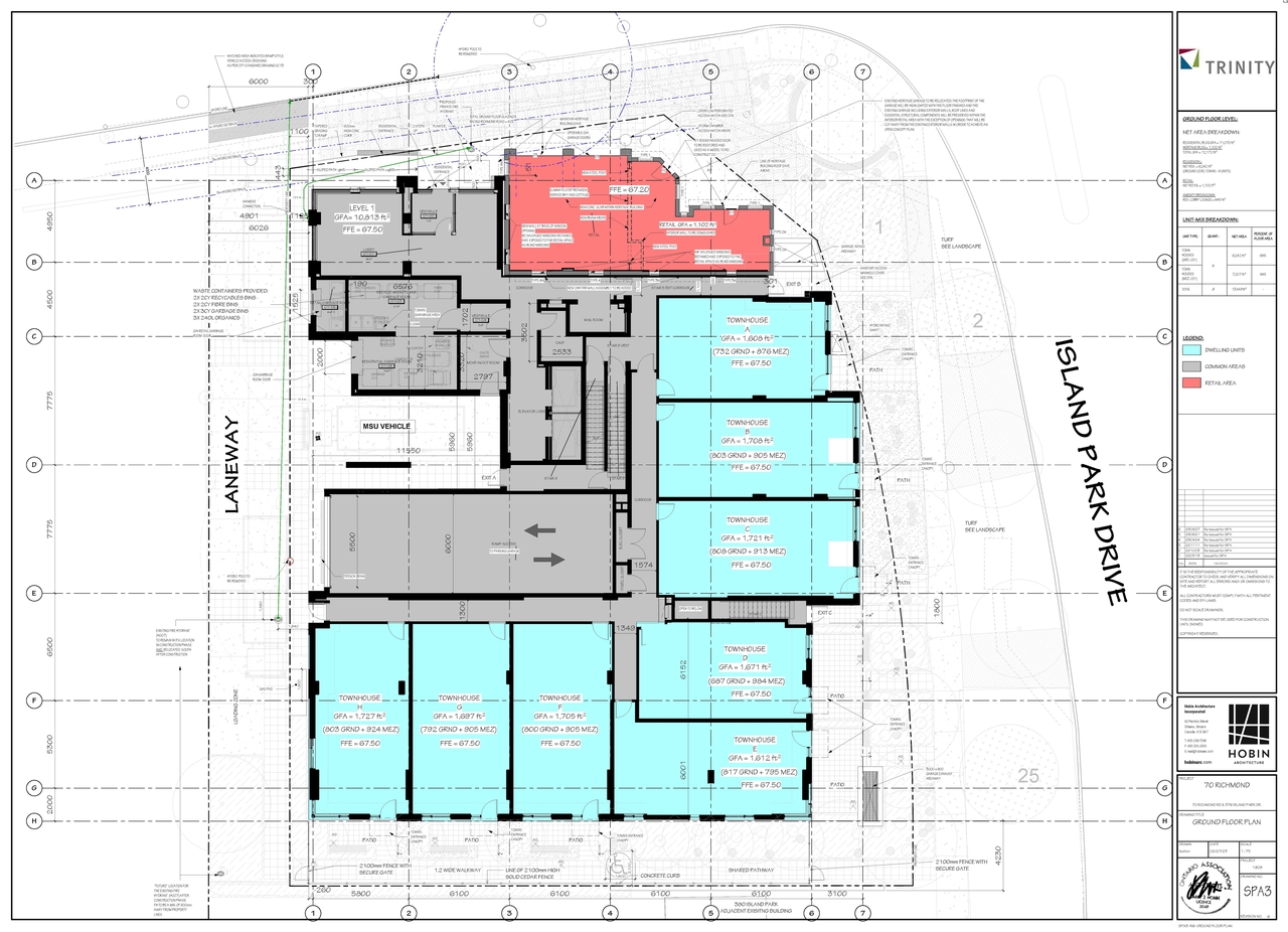
Site Plans, Elevations and Floor Plans#
Additional Information#
| Date Initiated | 2022-05-16 |
| Ward | Ward 15 - Jeff Leiper |