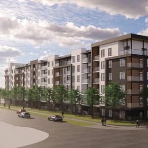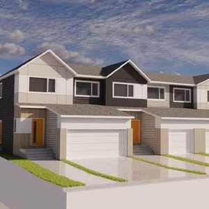
2313 Eston Rd. SE.
Summary#
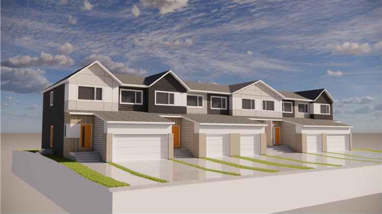
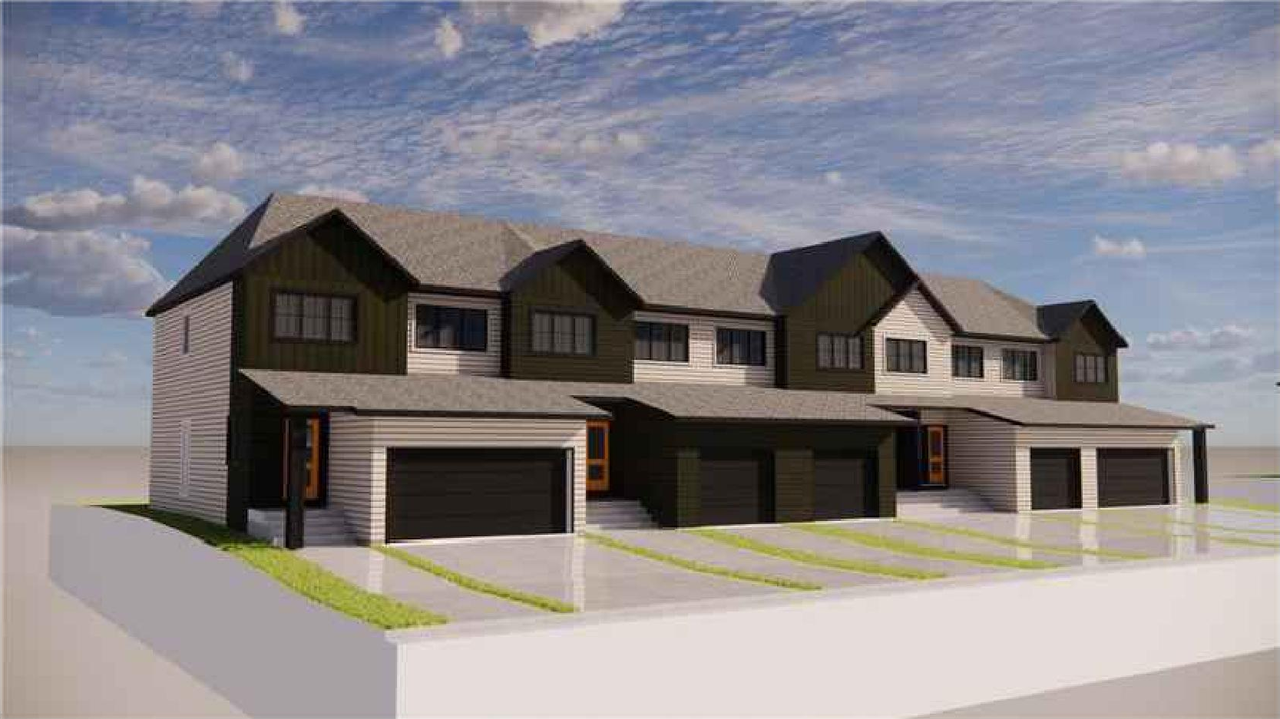
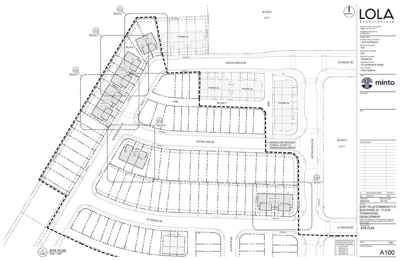
The proposal includes four new buildings, specifically semi-detached dwellings and rowhouses, situated on a site with a total area of approximately 4218.7 m². The land use designation for the site is R-G Low Density Mixed Housing. The development is planned to accommodate 17 residential units, resulting in a density of 40.28 Units Per Hectare (UPH).
Unavailable (Cancelled)
Residential
Building Scale (Max.)
Based on elevation drawings. Values may be approximate. See sources for exact figures.
Low-rise · 2 storeys
Data Quality Note
Text was extracted using optical character recognition. This may introduce artifacts or misreads.
· 8.8 m
Data Quality Note
Height was partially estimated using visual scale. This may be approximate.
Data Quality Note
Text was extracted using optical character recognition. This may introduce artifacts or misreads.
Renders#
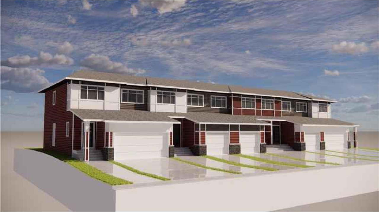
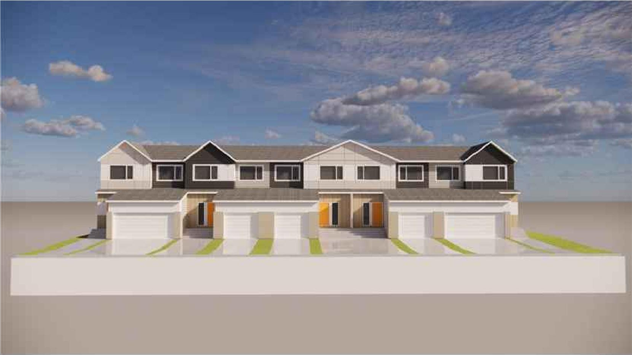
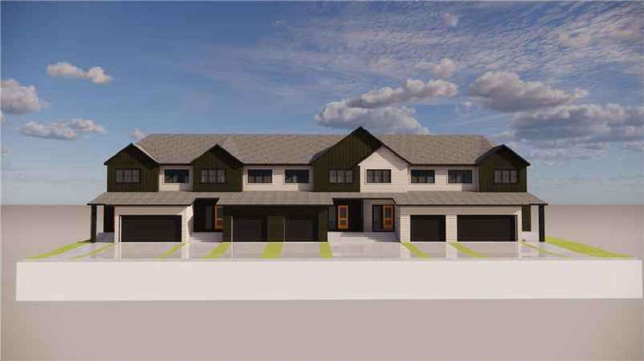
Location#
Project Updates#
- Status: Unavailable (Cancelled)
- Status: Cancelled
- Status: Cancelled (CPAG Application Draft)
- Status: In Circulation
- New: Semi-detached Dwelling, Rowhouse Building (4 Buildings)Source: City-provided description and DP2026-02823 DMAP Plans (Submitted) 2026-05-13 (18MB) (Page 2)
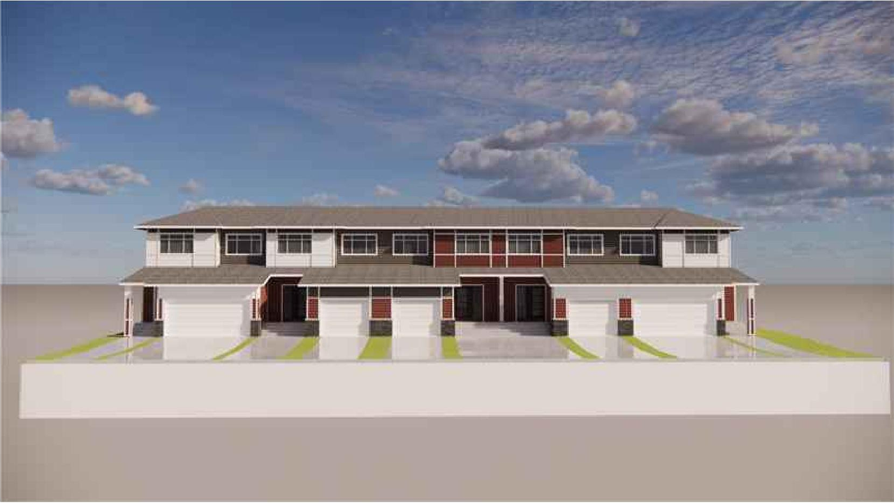
- 5 renders
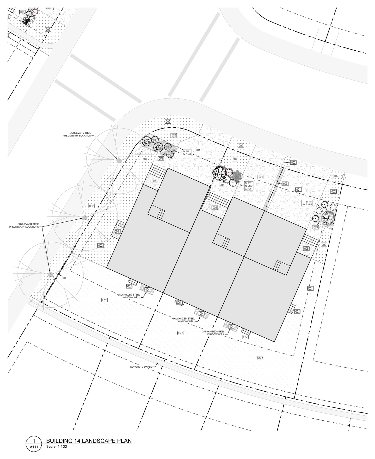
- 6 site plans
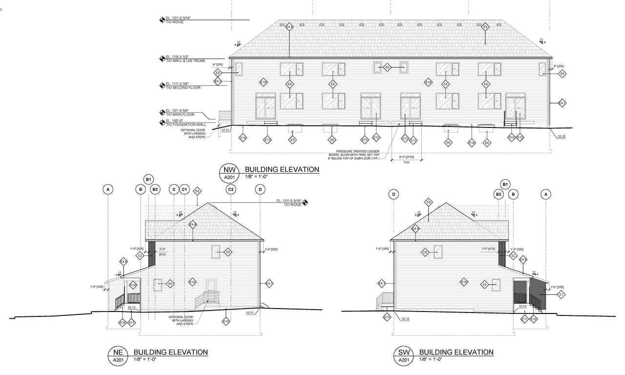
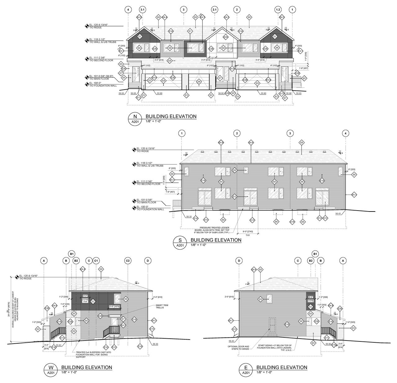
- 4 elevations
Site Plans, Elevations and Floor Plans#
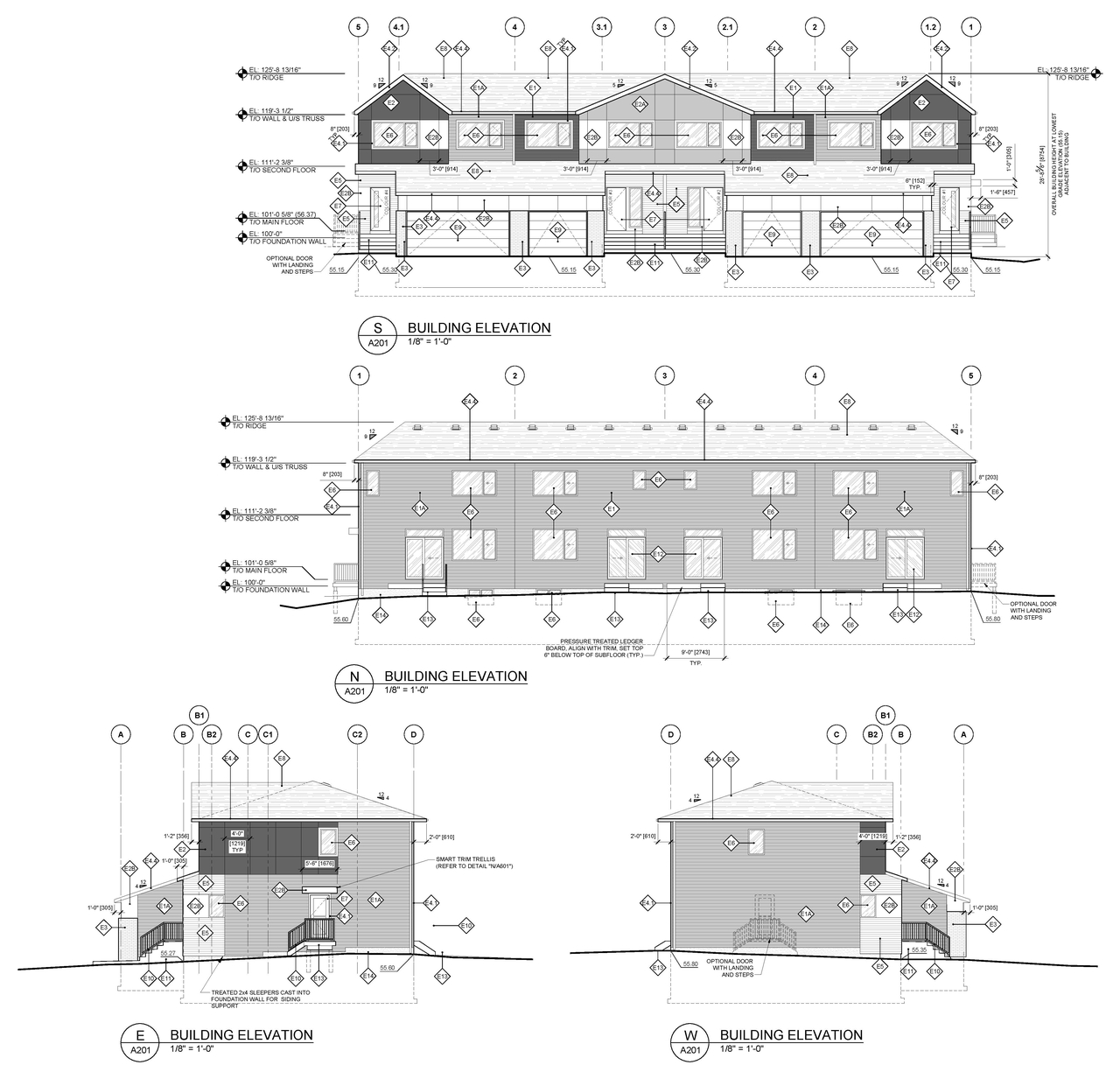
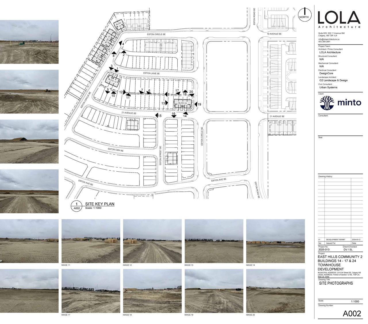
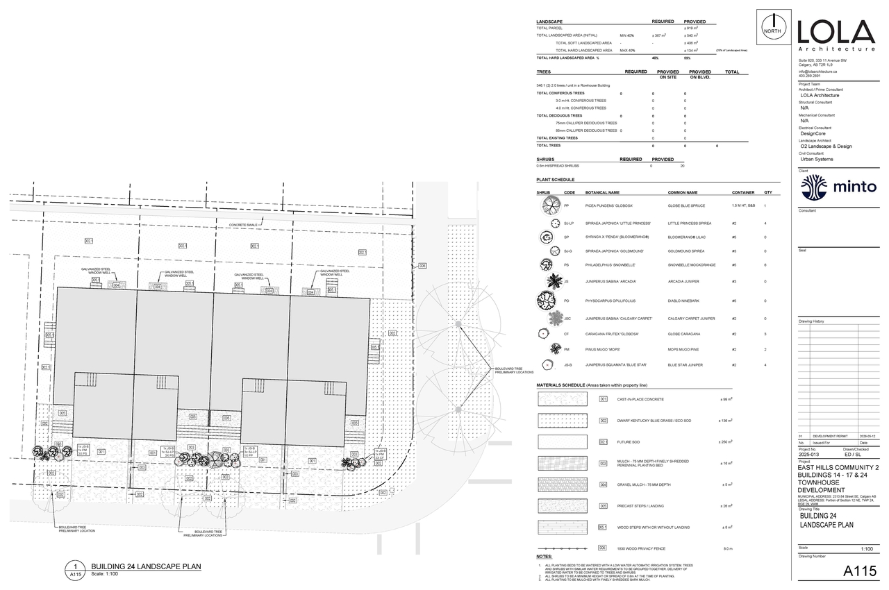
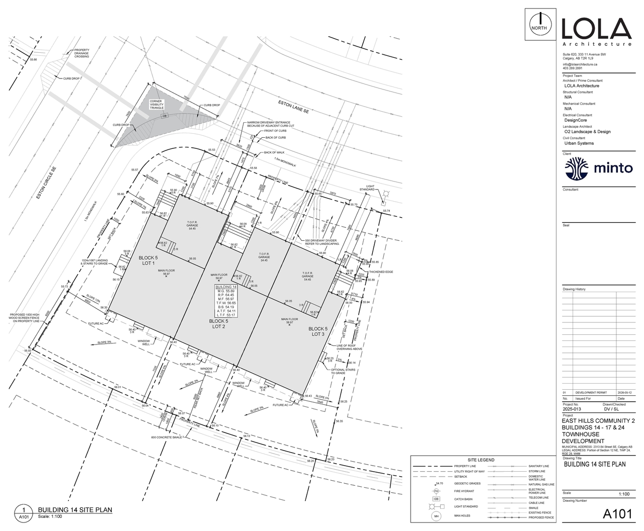
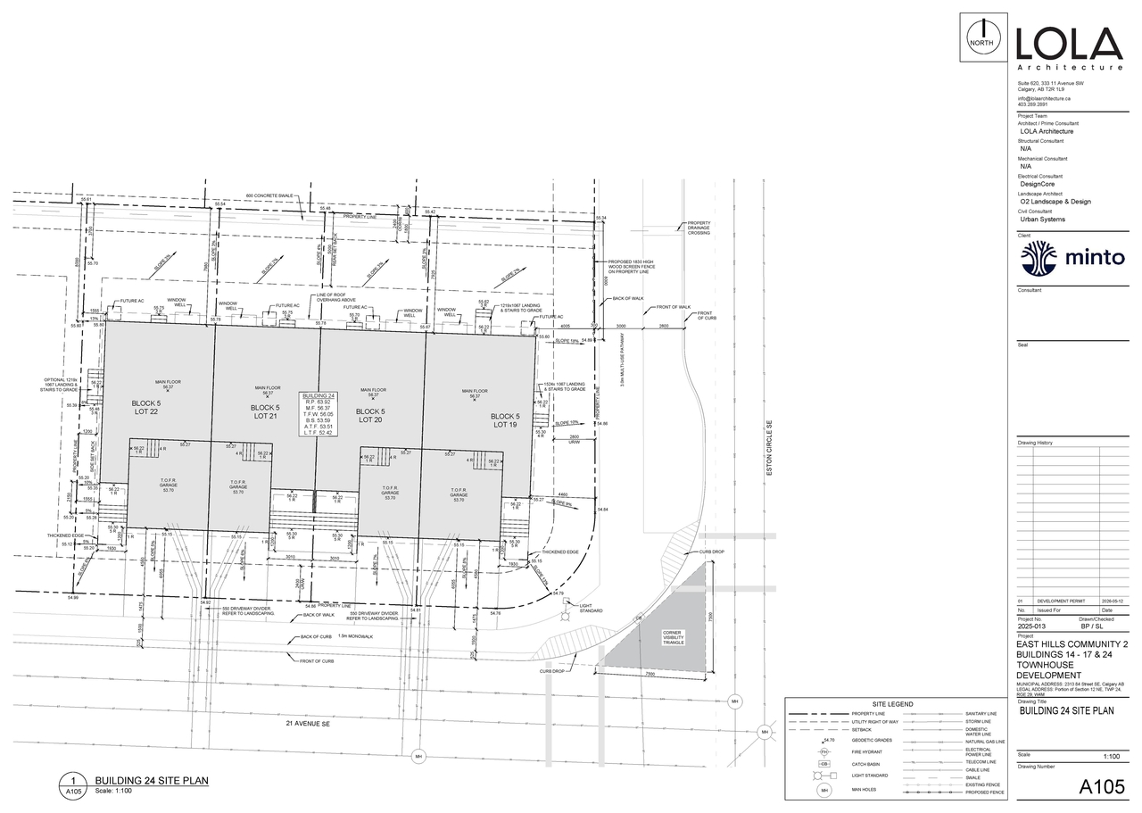
Additional Information#
| Date Initiated | 2026-05-13 |
| Community | Belvedere |
| Land Use District | Direct Control (1P2007) (DC), Multi-Residential - Medium Profile (M-2), Residential - Low Density Mixed Housing (R-G), Special Purpose - City and Regional Infrastructure (S-CRI), Special Purpose - School, Park and Community Reserve (S-SPR) |
Documents#
| Type | Document |
|---|---|
| Architectural Plans | DP2026-02823 DMAP Plans (Submitted) 2026-05-13 (18MB) |